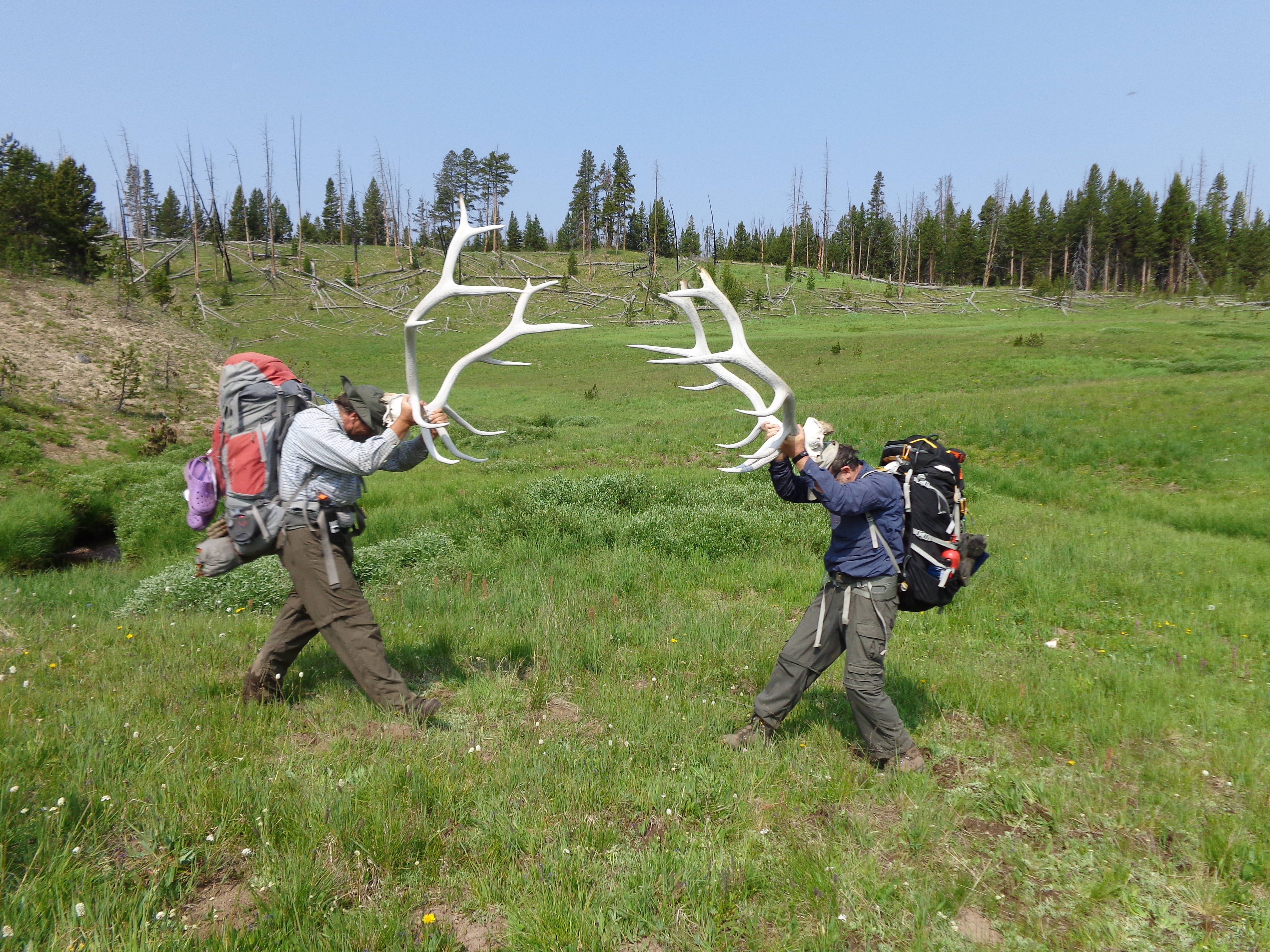
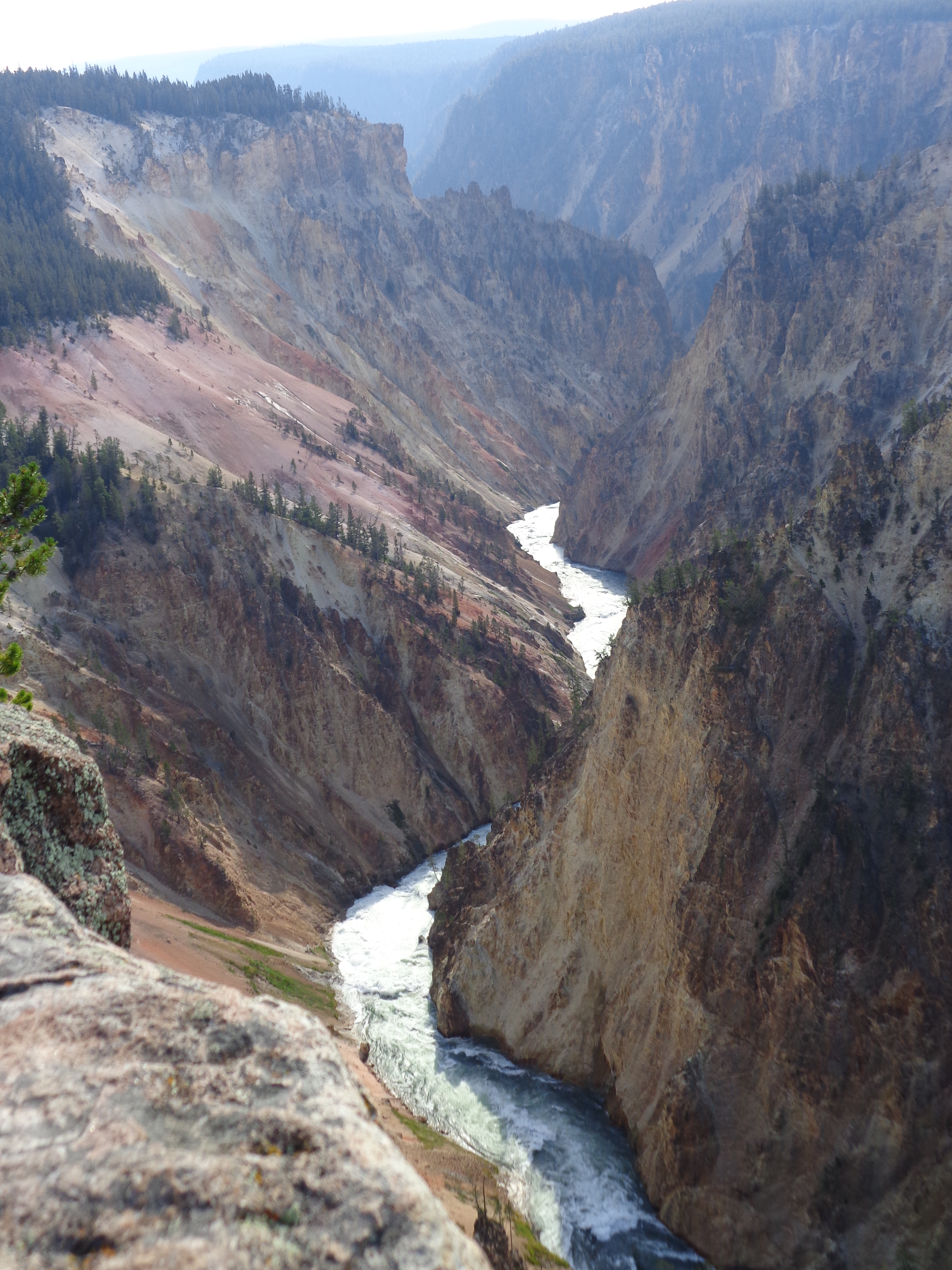
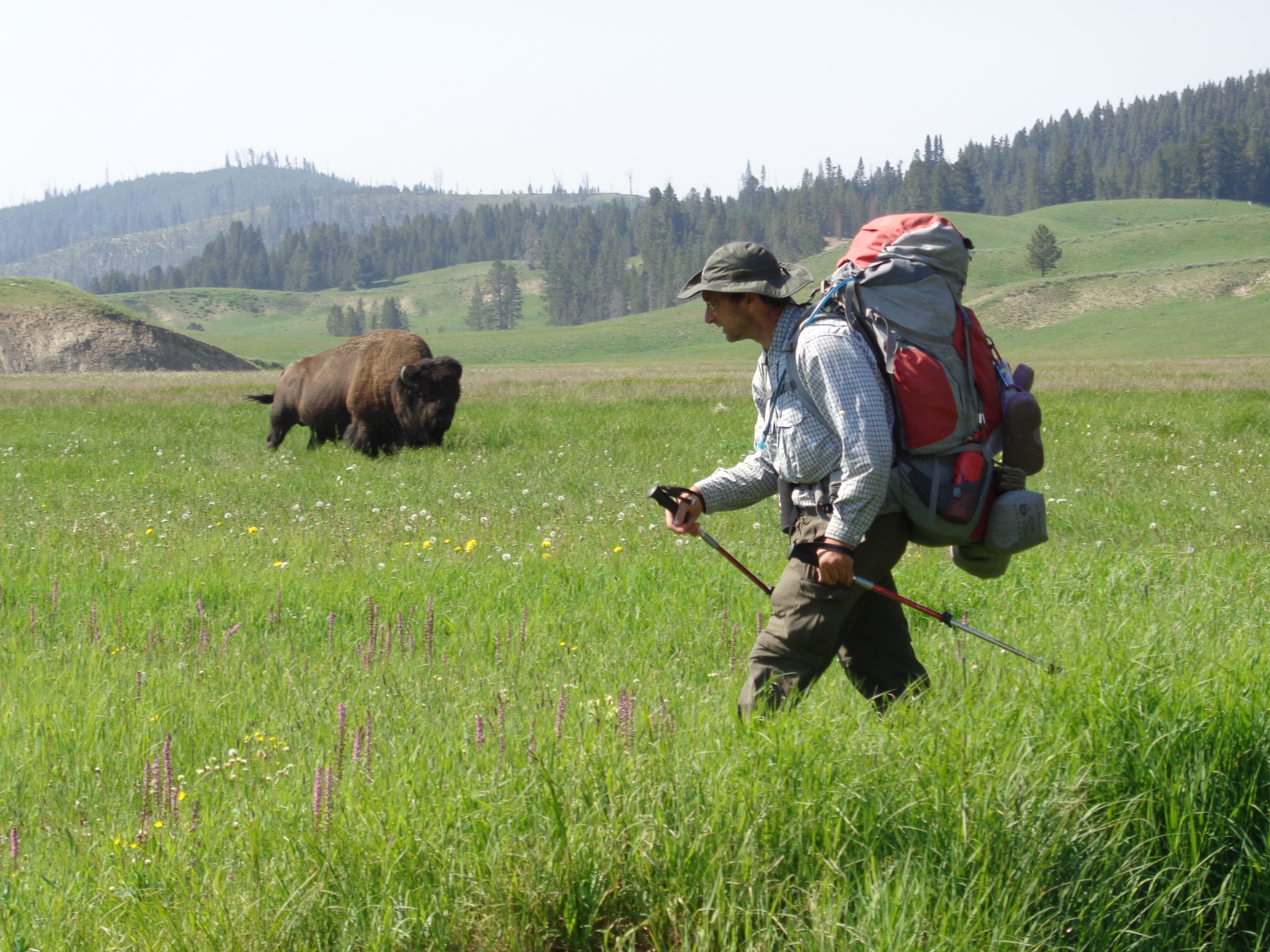
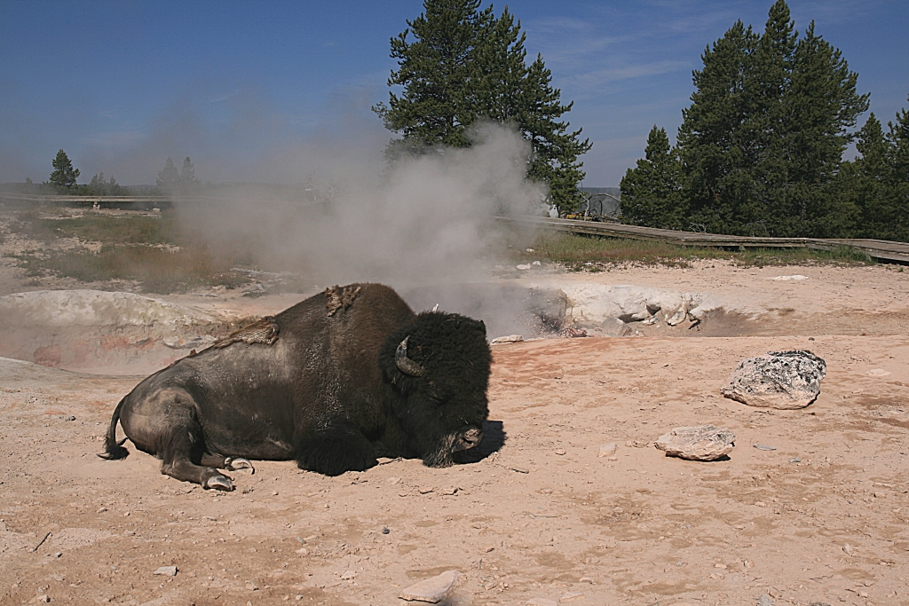
Itinerary
Friday, July 31, 2026
Drive or fly into Bozeman Airport (BZN). The best time to arrive is between around Noon-3PM. However, if you can save a substantial amount on your flight by arriving at another time then do so.
Take the free airport shuttle to local hotel: TBD
We will assemble at:
TBD, To Be Determined
Equipment shakedown. We go through your packs to make sure you're prepared for the trip equipment-wise
Make-your-own trail mix bar. You craft your personal trail mix from a cornucopia of nuts, fruits, sweets and occasional wildcard items that we provide.
Go to REI Bozeman, Stoneridge Square, 2220 Tschache St, Bozeman, MT 59718, (406) 587-1938 for last minute or forgotten equipment. Open until 6PM. Please note, there should also be other fine options in town to buy or rent gear.
Go out to welcome dinner at local restaurant. Cost of dinner not included in trip cost.
Stay in local hotel:
TBD, To Be Determined
Saturday, August 1, 2026
All the items that you won't bring on the trail will be set aside and put in storage.
Free Hotel Breakfast
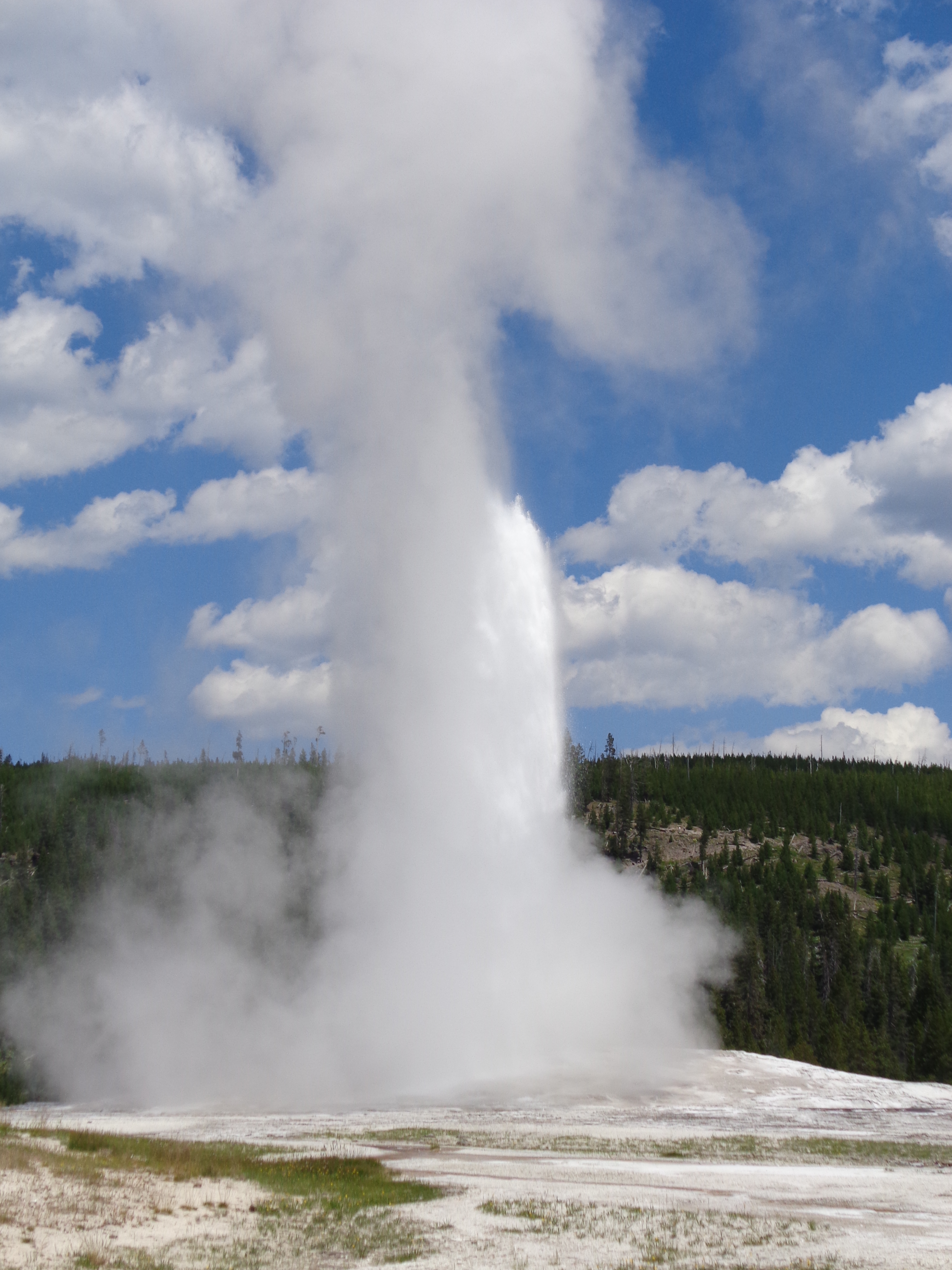
Shuttle to Yellowstone National Park, Old Faithful (about 3 hours)
Tour around the area until geyser does its thing, typically every 60-90 minutes
Pickup backcountry permits at the on-site Ranger Station
Shuttle to Grand Loop Road, one mile south of Midway Geyser
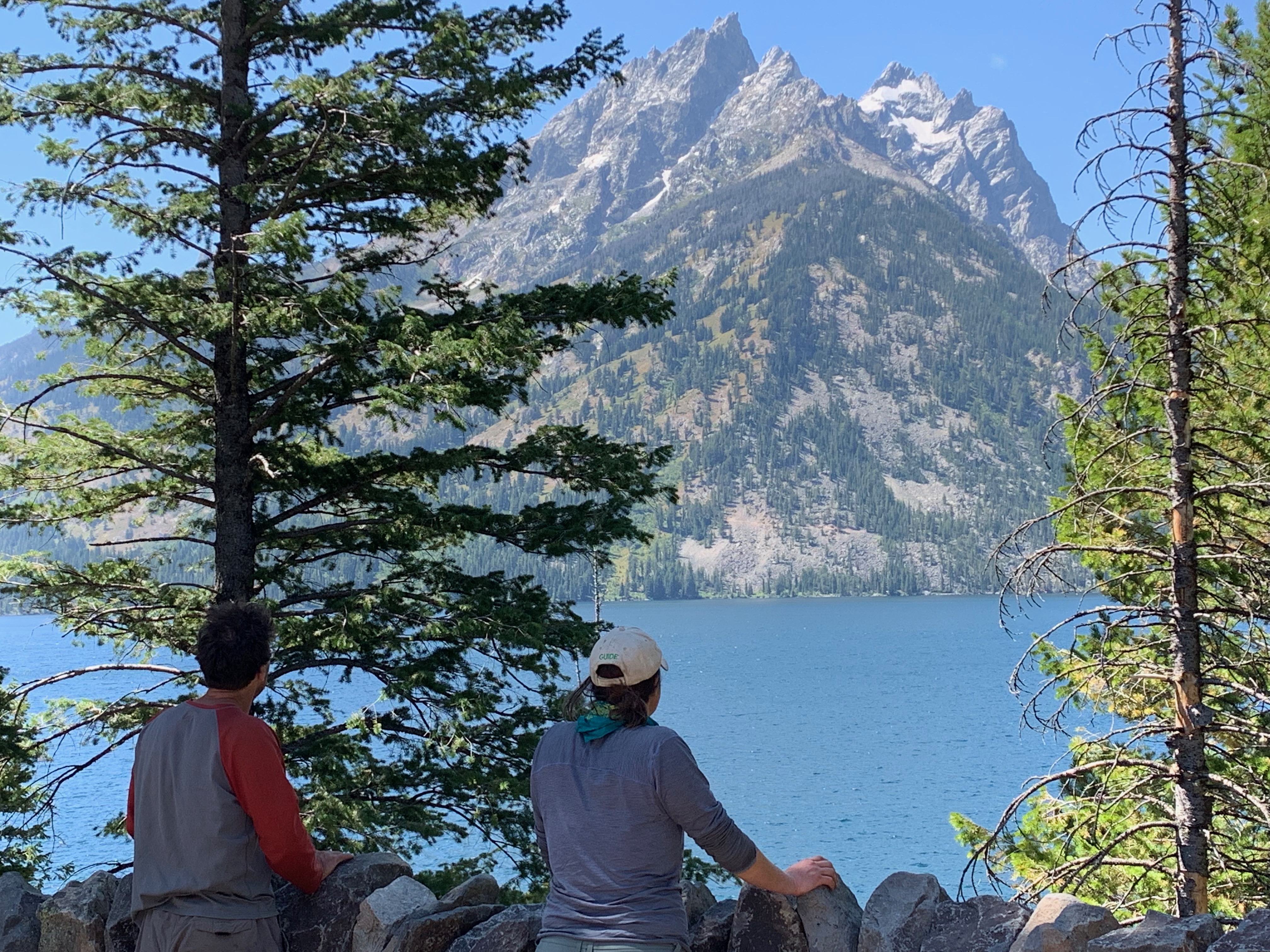
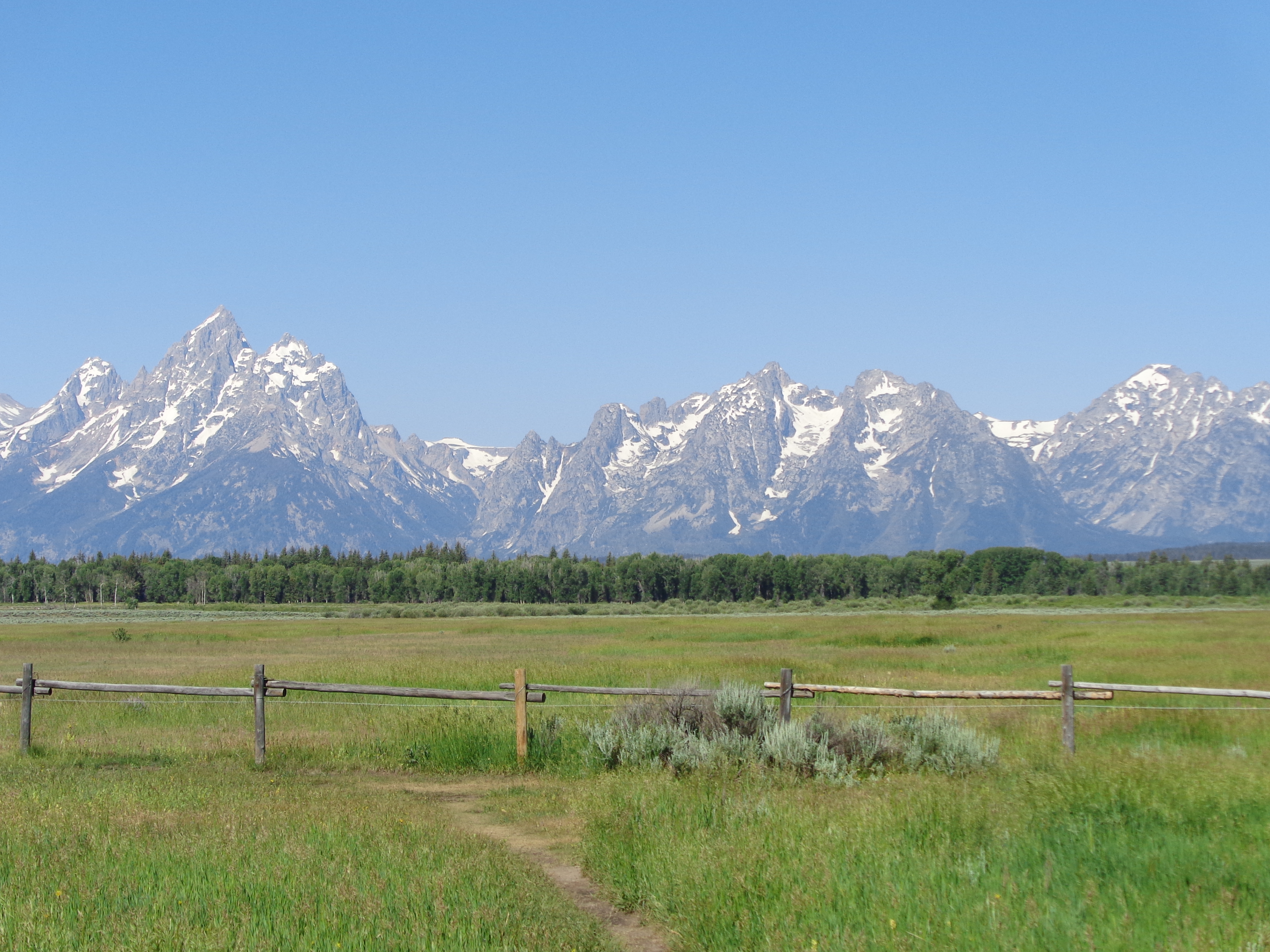
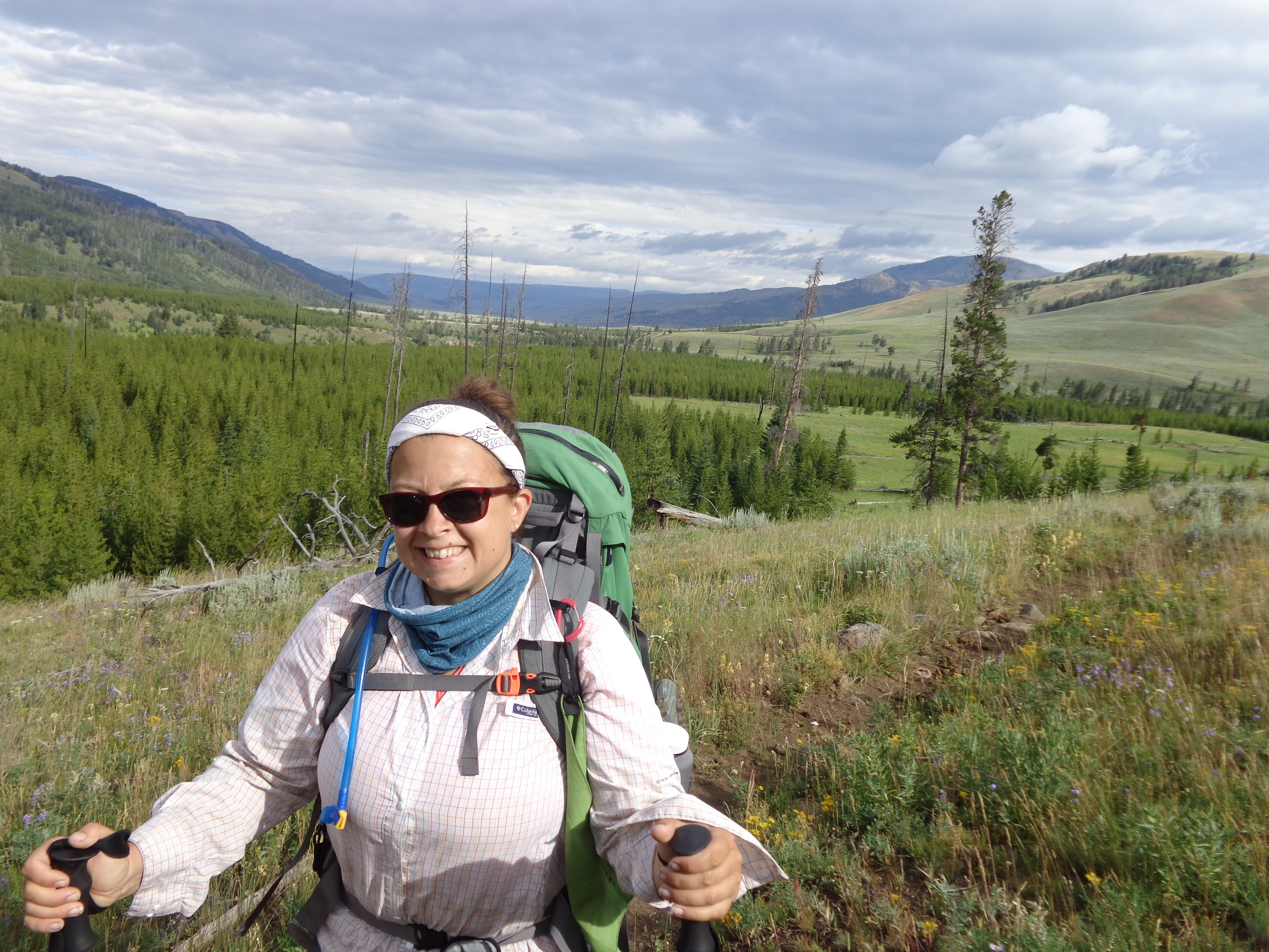
Begin Day-Hiking, elevation 7500'.
Day-Hike 1.0 miles the Fairy Falls Trail
Day-Hike 0.9 miles the Feather Lake
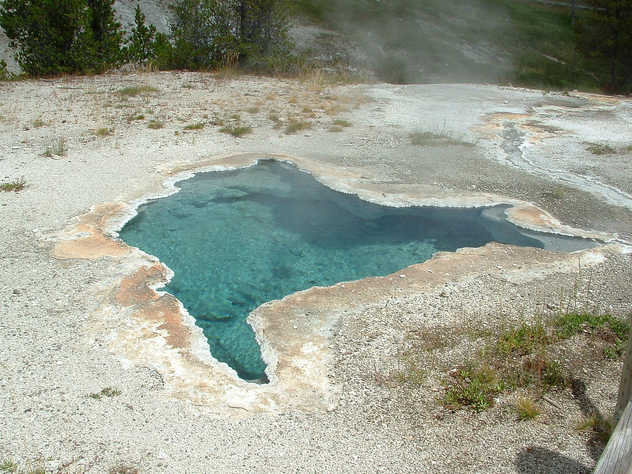
Day-Hike 2.1 miles on the Fairy Creek Trail to Spray Geyser / Imperial Geyser, which sprays regularly
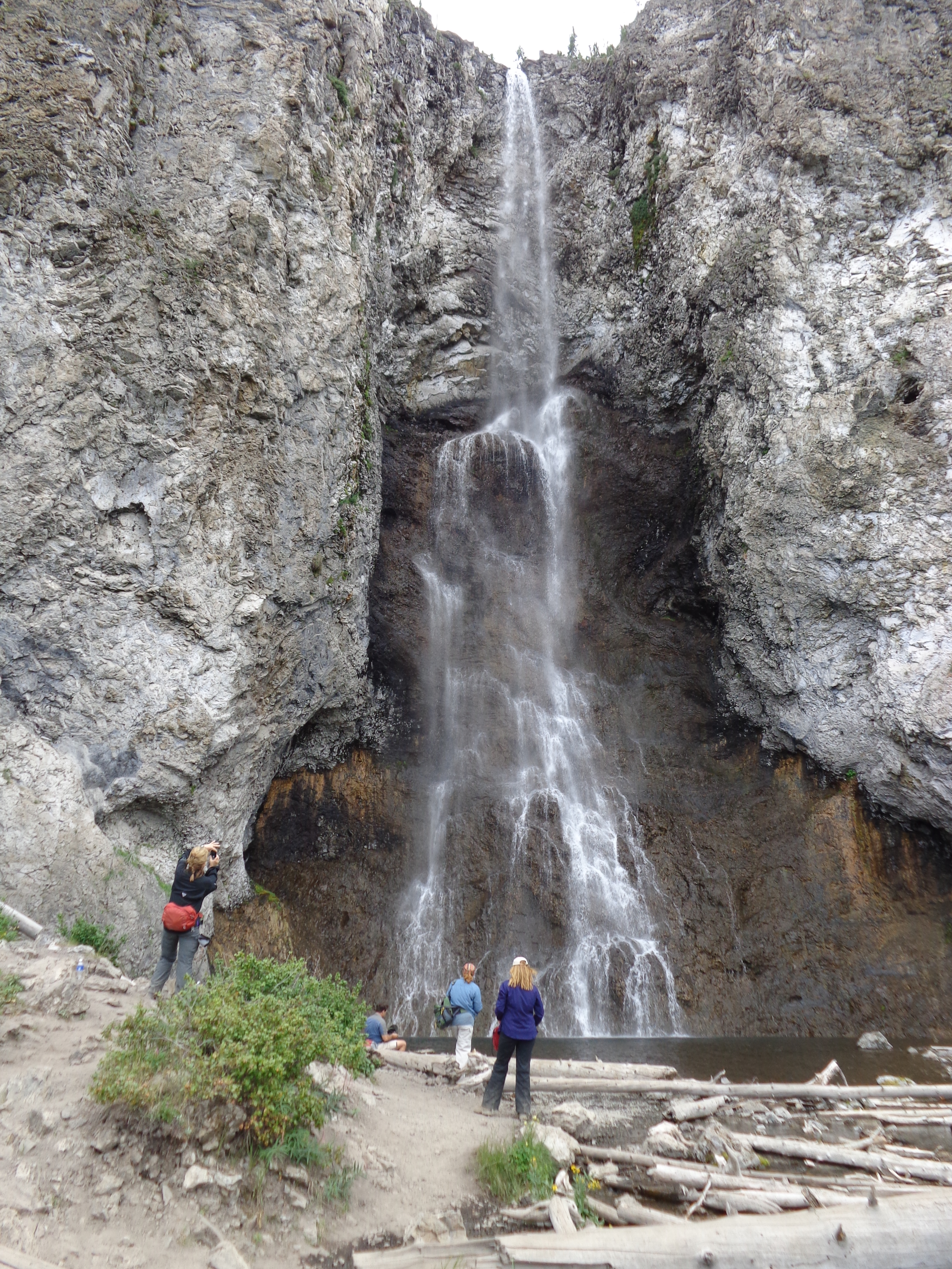
Day-Hike 0.6 miles to Fairy Falls
Day-Hike 2.2 miles back to the vehicle(s)
Shuttle to Bridge Bay Frontcountry Campground
Camp at Bridge Bay Campground either in Hiker / Biker site or full site (Site numbers TBD)
Miles today: 6.8. Total miles: 6.8
Sunday, August 2, 2026
Shuttle to Nine Mile Trailhead on East Entrance Road, elevation 7800'
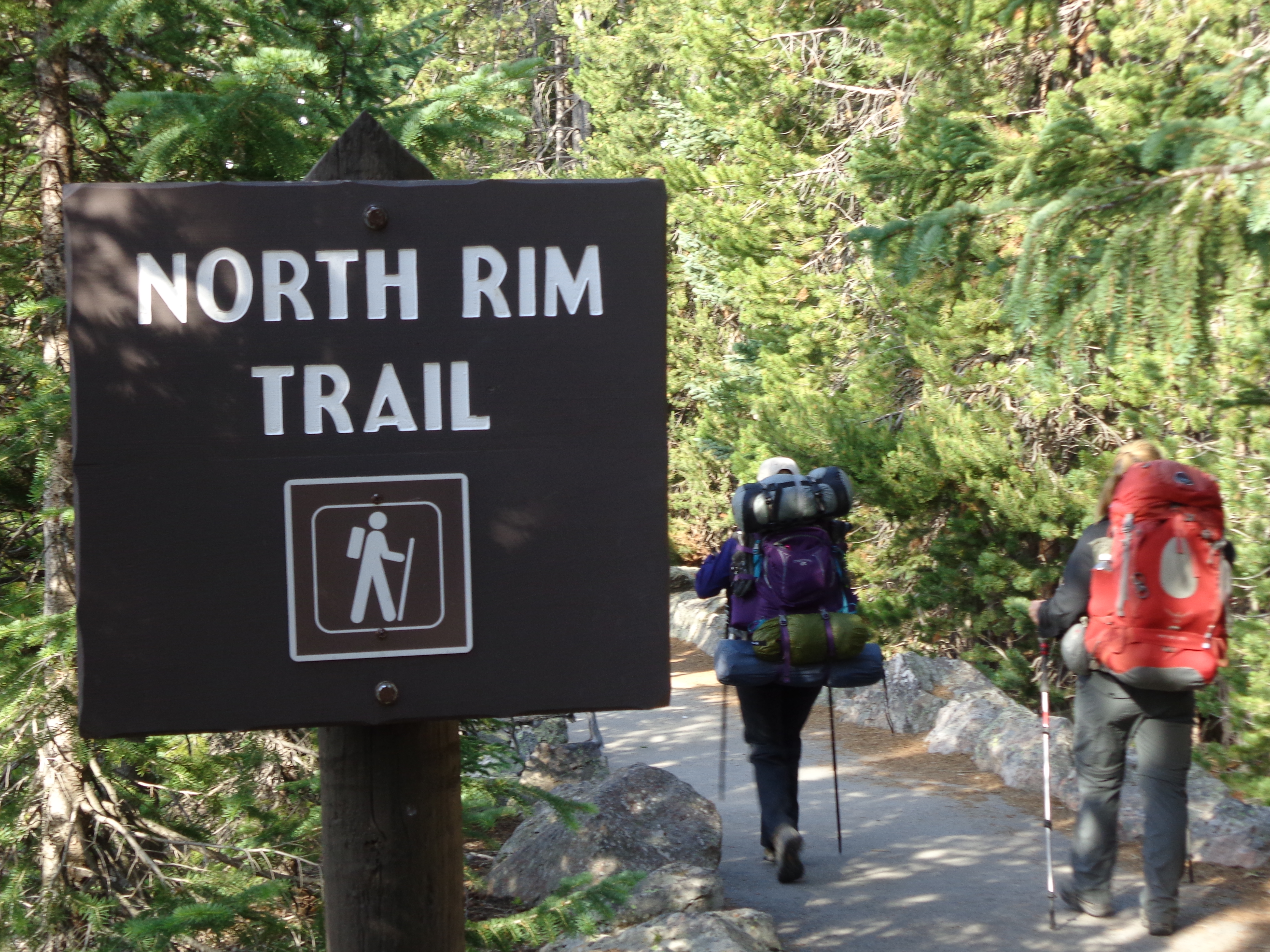
Hike 6.1 flat miles on the Thorofare Trail to Campsite 5E8
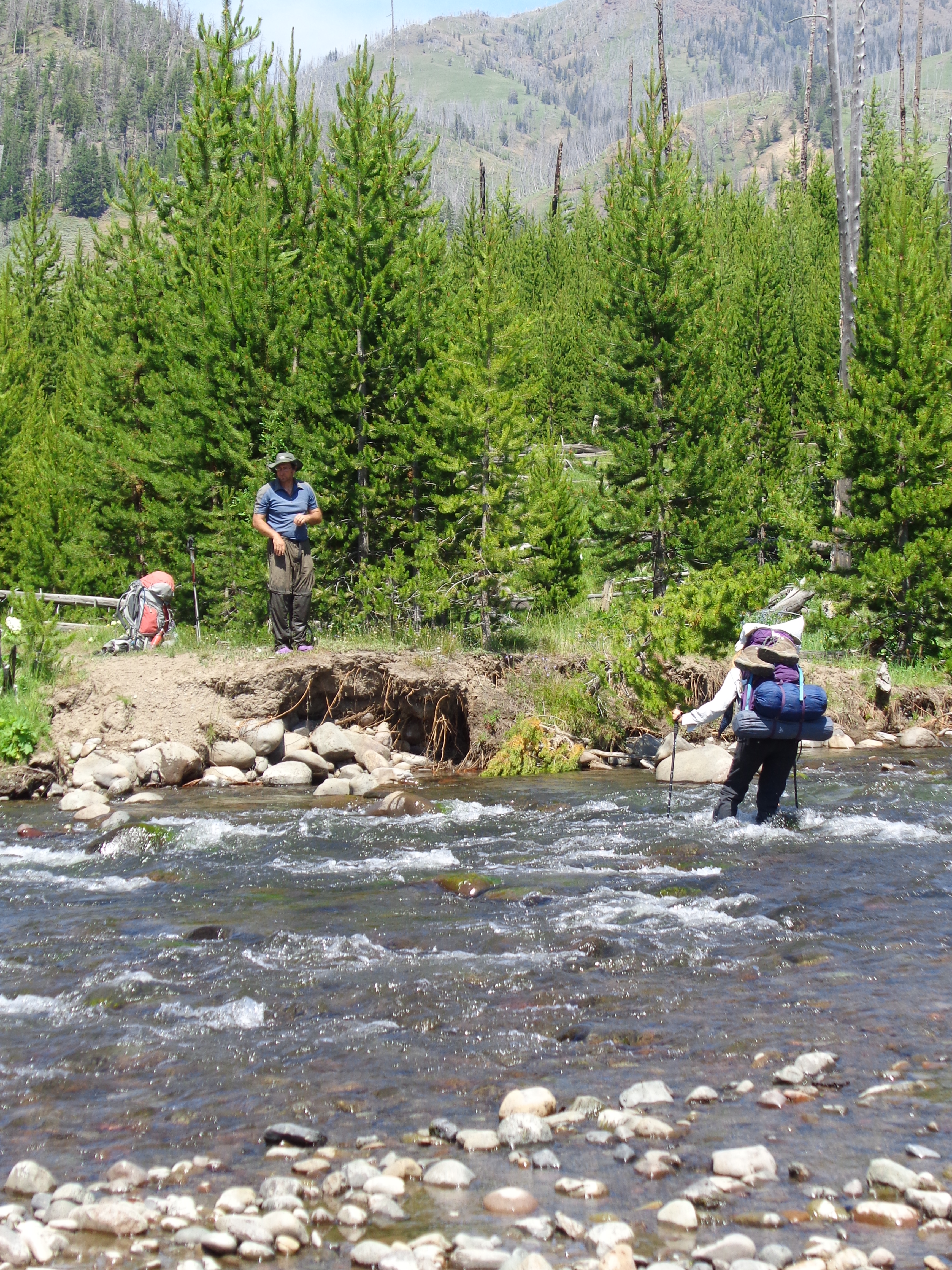
Today's hike will pass a section of forest that burned in September, 2011. We will ford Cub Creek and Clear Creek (easy fords, relative to upcoming fords)
Camp at campsite 5E8 on the shores of Yellowstone Lake, elevation 7800'.
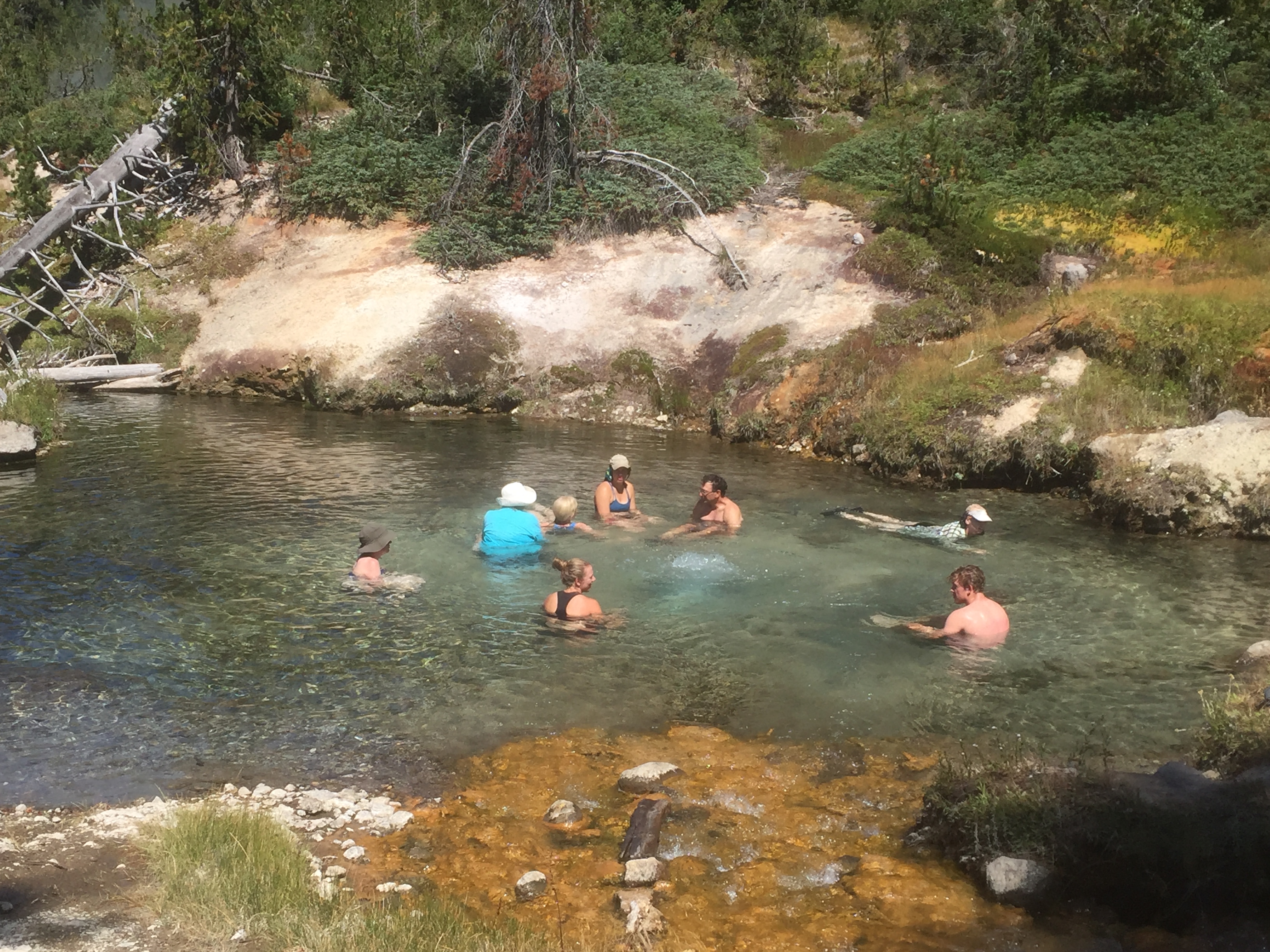
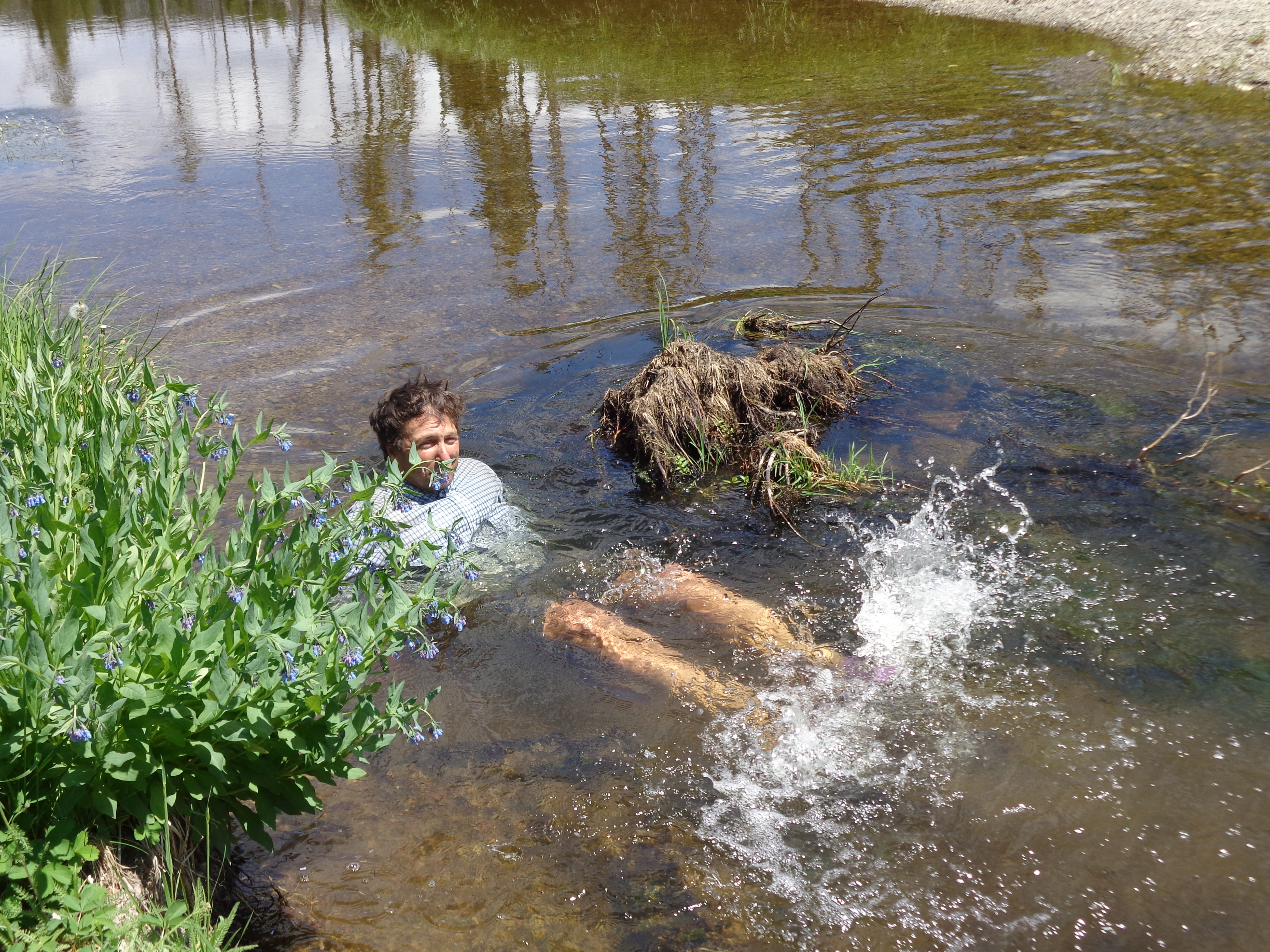
Good swimming available here. The water would normally be cold, save for the geothermal activity in the Yellowstone basin
Miles today: 6.1. Total miles: 12.9
Possible bailout: East Entrance Road
Monday, August 3, 2026
Hike 2.4 flat, easy miles on the Thorofare Trail, to the Southeastern Arm of Yellowstone Lake. The trail opens up for sweeping views along this portion.
Hike 8.0 miles to Campsite 5E1
Camp at Campsite 5E1, elevation 7800'
Miles today: 10.4. Total miles: 23.3
Possible bailout: East Entrance Rd., 1 day away
Tuesday, August 4, 2026
Hike 7.9 miles on the Thorofare Trail to campsite 6D2.
Camp in a big meadow at Campsite 6D2, elevation 7800'
Miles today: 7.9. Total miles: 31.2
Possible bailout: Two days distant from here
Wednesday, August 5, 2026
Hike 7.5 relatively easy miles on the Thorofare Trail to Thorofare Ranger Station
The Thorofare Ranger Station is considered to be the farthest dwelling from any road in the Continental United States, 32 miles away from East Entrance Road
Hike 1.4 easy miles to campsite 6T2
Camp at campsite 6T2, elevation 7800'
Miles today: 8.9. Total miles: 40.1
Possible bailout: Over 30 miles away
Thursday, August 6, 2026
Over the next 2 miles, ford Thorofare Creek and Yellowstone River. Extreme Caution: Either or both may be deep, cold and/or swift.
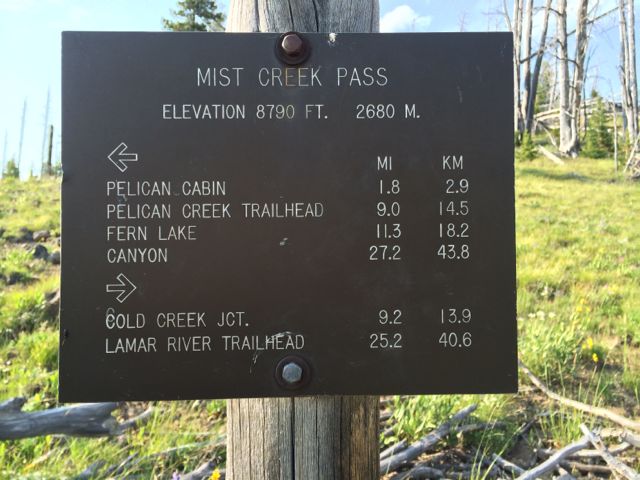
Leave the flat hiking behind and hike 1200' up Lynx Creek (with another ford) 7.6 miles to the South Boundary Trail, elevation 8600'
Camp at Campsite 6M4, elevation 8600'.
Miles today: 9.6. Total miles: 49.7
Possible bailout: Two days distant from here
Friday, August 7, 2026
Hike 3.2 downhill miles (with an easy ford of Plateau Creek) to the Fox Creek Patrol Cabin, elevation 8000'
Join the Continental Divide Trail / Snake River Trail and hike 0.8 miles to the trail junction of the South Boundary Trail
Hike 3.2 miles up the Snake River Trail / Continental Divide Trail to campsite 8C9
Camp at Campsite 8C9, elevation 8200'.
Miles today: 6.4. Total miles: 56.1
Possible bailout: Two days distant from here
Saturday, August 8, 2026
Hike 8.5 miles on the Snake River Trail / Continental Divide Trail fording the Snake River at least once to the Heart River Trail, elevation 7300'
Hike 3.1 miles on the Heart River Trail fording the Heart River three times to Heart River Campsite 8J4, elevation 7300'
Camp at Heart River Campsite 8J4, elevation 7450'
Miles today: 11.6. Total miles: 67.7
Possible bailout: South Entrance Road
Sunday, August 9, 2026
Hike 0.7 miles on the Campsite Spru Trail Trail Creek Trail, elevation 7515'
Hike 4.4 miles on the Trail Creek Trail to the Heart Lake Trail, elevation 7450'
Hike 0.6 miles on the Heart Lake Trail to the West Shore Campsite 8H4, elevation 7455'
Camp at West Shore campsite 8H4 elevation 7500'
Good swimming available here
Miles today: 5.7. Total miles: 73.4
Possible bailout: South Entrance Road
Monday, August 10, 2026
Day-Hike 7.5 steep round-trip miles to the summit of Sheridan Mountain, elevation 10,308'.
Camp at West Shore campsite 8H4 elevation 7500'
Good swimming available here
Miles today: 7.5. Total miles: 80.9
Possible bailout: South Entrance Road
Tuesday, August 11, 2026
Hike 8.4 miles to South Entrance Rd., elevation 7900'
End of hiking
Miles today: 8.4. Total miles: 89.3
Possible bailout: South Entrance Rd.
Shuttle back to Bozeman (3.5hrs)
Shuttle back to local hotel:
TBD, To Be Determined
Gather your off-trail items from storage
Farewell dinner at a local restaurant (Dinner cost not included in trip price)
Stay in our local hotel (included in trip cost)
This is the official end of the trip. You are welcome to spend the night at
the hotel, however if you drove and would like to get on the road or if you flew
and would like to schedule a late flight (or a red-eye if
this is a West Coast trip) you can definitely do so.
Wednesday, August 12, 2026
Free Hotel Breakfast
We will Shuttle everyone to the airport early in the morning
Back to top