Click on photos for larger images. Sometimes you have to refresh the page to re-activate this feature. Hide Slide Show (you will have to refresh the page to see it again)

Hot Springs Solar Eclipse

Saturday, April 6, 2024 - Sunday, April 14, 2024 -- $1625 ★★


Description

Eclipse: On April 8, 2024, much of the Arkansas' Ouachita National Recreational Trail will experience a total solar eclipse, starting around 1:45PM and lasting 3-4 minutes. Join Fitpacking to view this rare phenomenon from the summit clearing of Ouachita Pinnacle. Arkansas is one of the few wilderness areas on the path of totality where it's hiking season. Here is more information about the eclipse in Arkansas specifically. Here's hoping the weather is conducive to viewing the eclipse.

Hot Springs: For over 200 years, people have come to Hot Springs, AR to bathe in its legendary healing waters to relax and treat illnesses. Many people still drink the hot water, believing it to be theraputic and delicious (tip: it's not). Although the Hot Springs no longer run wild, we will soak in their waters in the Quapaw bathhouse


Ouachita Trail: The surprisingly not-well-known Ouachita National Recreation Trail stretches 223 miles through the beautiful Ouachita Mountains of Oklahoma and Arkansas. It traverses the only East-West Mountain Range in the lower 48. We will hike over 50 miles along the Flatiron Wilderness portion of this beautiful and seldom hiked trail that goes between Little Rock, AR and Talimena, OK. The trail is inhabited by deer, wild turkeys, barred owls, hummingbirds, and if we're lucky, bald eagles and bears. But mostly, there are walking sticks, armadillos and interesting spiders such as tarantulas ( There is no reason to fear tarantulas unless you yourself are an insect ).


Although few people have heard of it -- even in the backpacking community -- Fitpacking runs a trip on the Ouachita trail almost every year. Our journey will begin at Highway 298 on the border of the Ouachita National Forest. By the 3rd day, we will be atop Ouachita Pinnacle watching a total solar eclipse with our cool 3-D style glasses. We will then camp in or near shelters most nights and go all the way to Lake Sylvia where the hiking portion of the trip ends. From there, we'll shuttle to the Hot Springs for a relaxing soak in their legendary mineral waters.


Why not join us to view the eclipse, soak in the hot springs, see a part of the country few ever see and get or stay in shape in anticipation of the beach season?


Topographical Map of Proposed Route

See CalTopo map


Weather

Weather is always an important concern when hiking. Expect daytime hiking temperatures to be nearly ideal -- in the 60s or 70s with nighttime temperatures in the 40s. However, be prepared for the possibility of overnight temperatures below freezing and the possibility of rain or even snow. It poured one day on the 2014 trip, but we were fortunate to arrive at our shelter just as the rain started. We stayed inside until the next morning when it cleared up and resumed hikng.

View historic weather for this area.


Probable Trip Leaders

Guide(s) TBD

Difficulty

Much of the terrain on the Ouachita Trail is mellow and well graded -- indeed mountain bikes are allowed on some of this trail section -- but there are areas where contours can be steep and brushy. The most dramatic ascents/descents are about 700' which can be a challenge but are not long-lasting. The daily mileage is about 7.5 miles most days, with a few longer days when the trail requires it.


Cost

$1625 per person double occupancy. Here, double occupancy means that you will share a room with another participant during the hotel night. You will also be responsible for transportation to and from Little Rock, AR (LIT), personal equipment, restaurant meals eaten off the trail and any gratuities for guides.


Covered expenses include 1 night in a shared hotel room, 7 days of trail meals, ground transportation, camping fees, National Forest permits, bathhouse fees (personal services such as massage are not covered) and 2 awesome guides.


Tipping: In order to keep our prices competitive with (and hopefully favorable to) other outfitters, we shamefully can’t pay our guides as much as we think they deserve. Like most other guiding services, we rely on the generosity of our participants to make up this shortfall by tipping the guides. While tips are not required or expected, if your guides have served you well, please consider a gratuity so they can continue living their extravagant lifestyles of eating powdered meals, sleeping in the dirt and pooping in smelly outhouses and small holes they've dug.


Notes


Click here for a hopelessly out of date water report. If it's a dry year, water may be difficult to obtain on certain days meaning we'll have to carry extra to camp or may cache water ahead of time.


The bathhouse will not let us walk around the common areas in bare feet. So they will sell you some kind of disposable thong for $5 or more. Instead, you can use your (clean) camp shoes or a set of flimsy, waterproof footwear that you bring from home.


Back to top
Sign Up For a Trip
Itinerary
Weather
Guides for this trip
Cost
Important Note
Difficulty (Please Read)
Map


Itinerary


Saturday, April 6, 2024

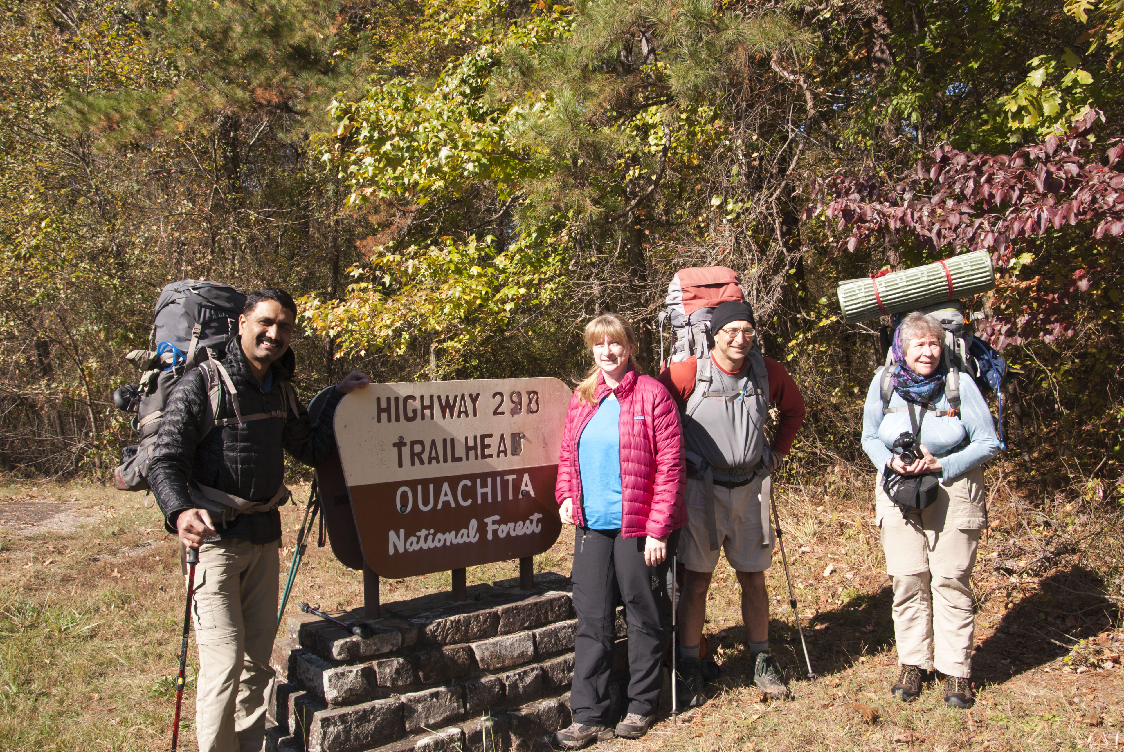
Fly or drive into Little Rock, AR (LIT). The best arrival time is between 9AM - 1PM, However, if you have had your virtual shakedown and can save a substantial amount on your flight by arriving a few hours earlier or later, then do so. If you are driving, please let us know as soon as possible if you'd like us to make arrangements for your car.


Call for a free airport shuttle that will pick you up and take you to our local hotel


We will assemble at: Holiday Inn Express Little Rock Airport, 3201 Bankhead Drive, Little Rock, AR, 72206, (501) 490-1000.


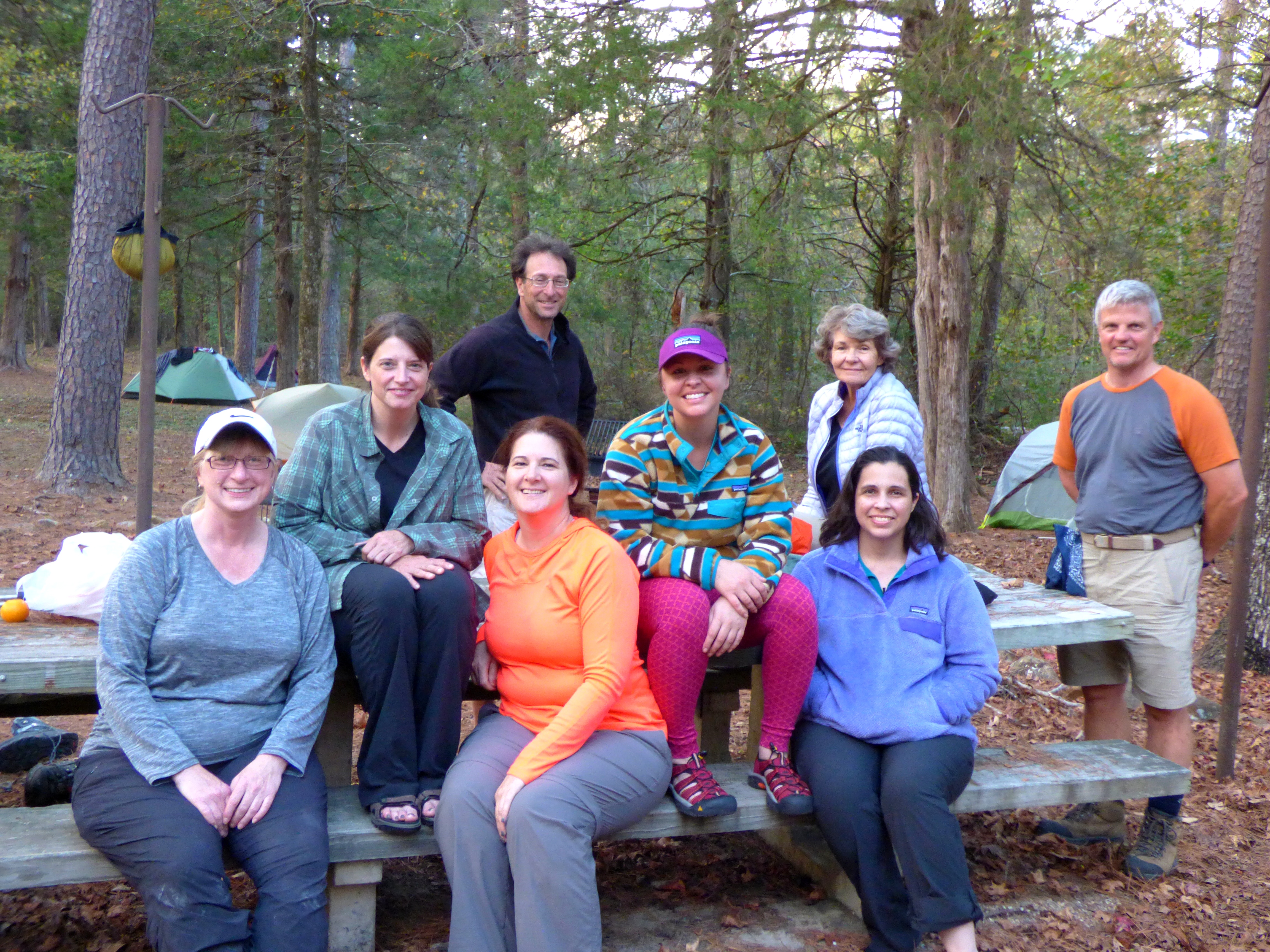
Although you have already had the online equipment shakedown. We will ask questions about your stuff and try to economize the weight while making sure you are outfitted properly and prepared for the elements.


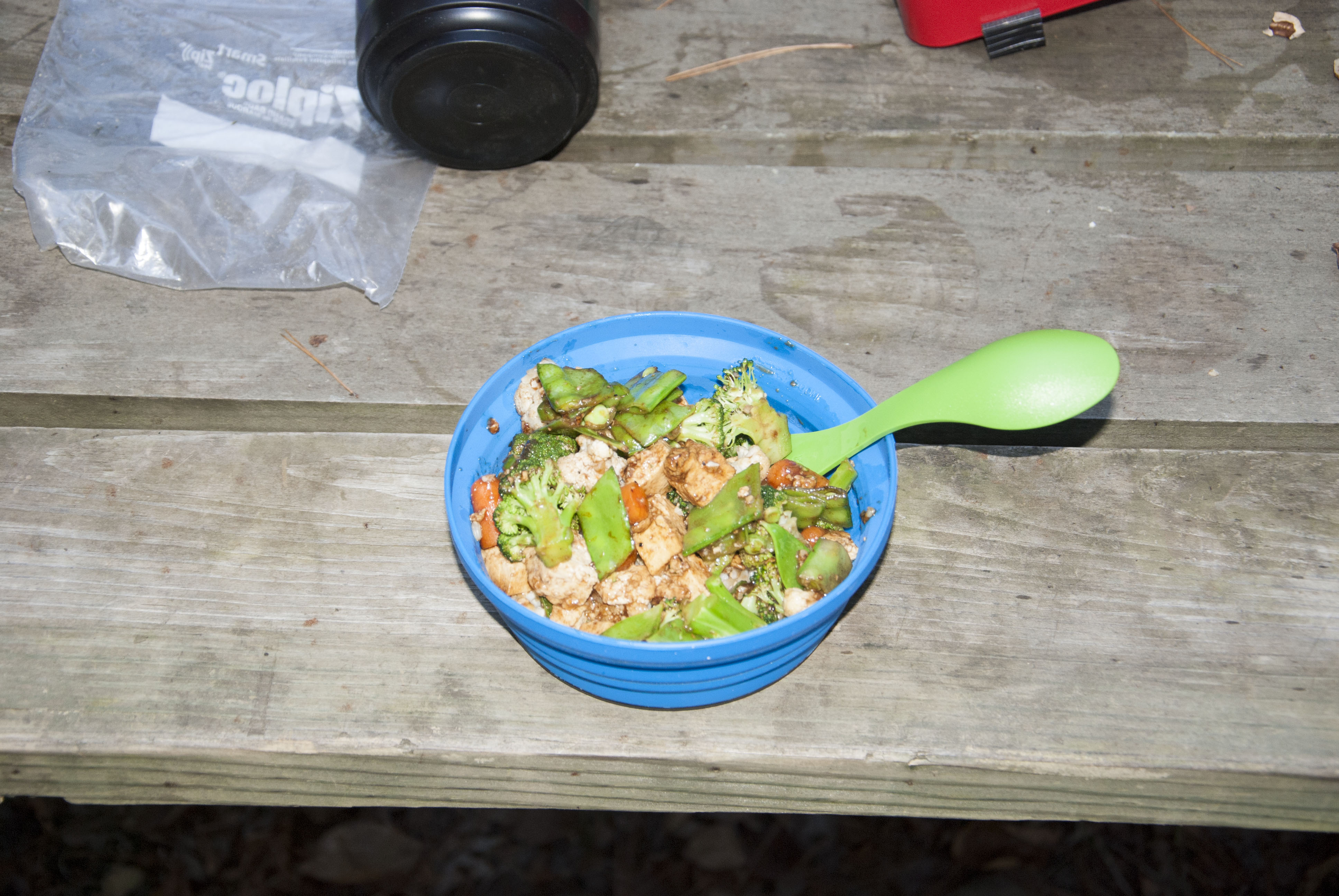
Make Your Own Trail mix bar from our selection of nuts, fruits and sweets (as well as jerky and trail bars)


Go to Ozark Outdoor Supply 5514 Kavanaugh Blvd., Little Rock, AR to pick up any equipment participants forgot or still need. Open until 6PM


We will place all your off-trail stuff in storage for the week. Please keep this to a small amount


At around 3PM, shuttle to campsite: Irons Fork Recreation Area & Campground, AR 298, Jessieville, AR 71949, 501-767-2101. Site(s) TBD Elevation: 600'


Shuttling will take about 1 hours


Guides prepare dinner in camp. On some trips with longer shuttle times, we may opt to go out for an opening dinner at a local restaurant. (Cost of restaurant dinner not included in trip price)


Camp at Irons Fork Recreation Area & Campground, AR 298, Jessieville, AR 71949, 501-767-2101. Site(s) TBD Elevation: 600'


Sunday, April 7, 2024

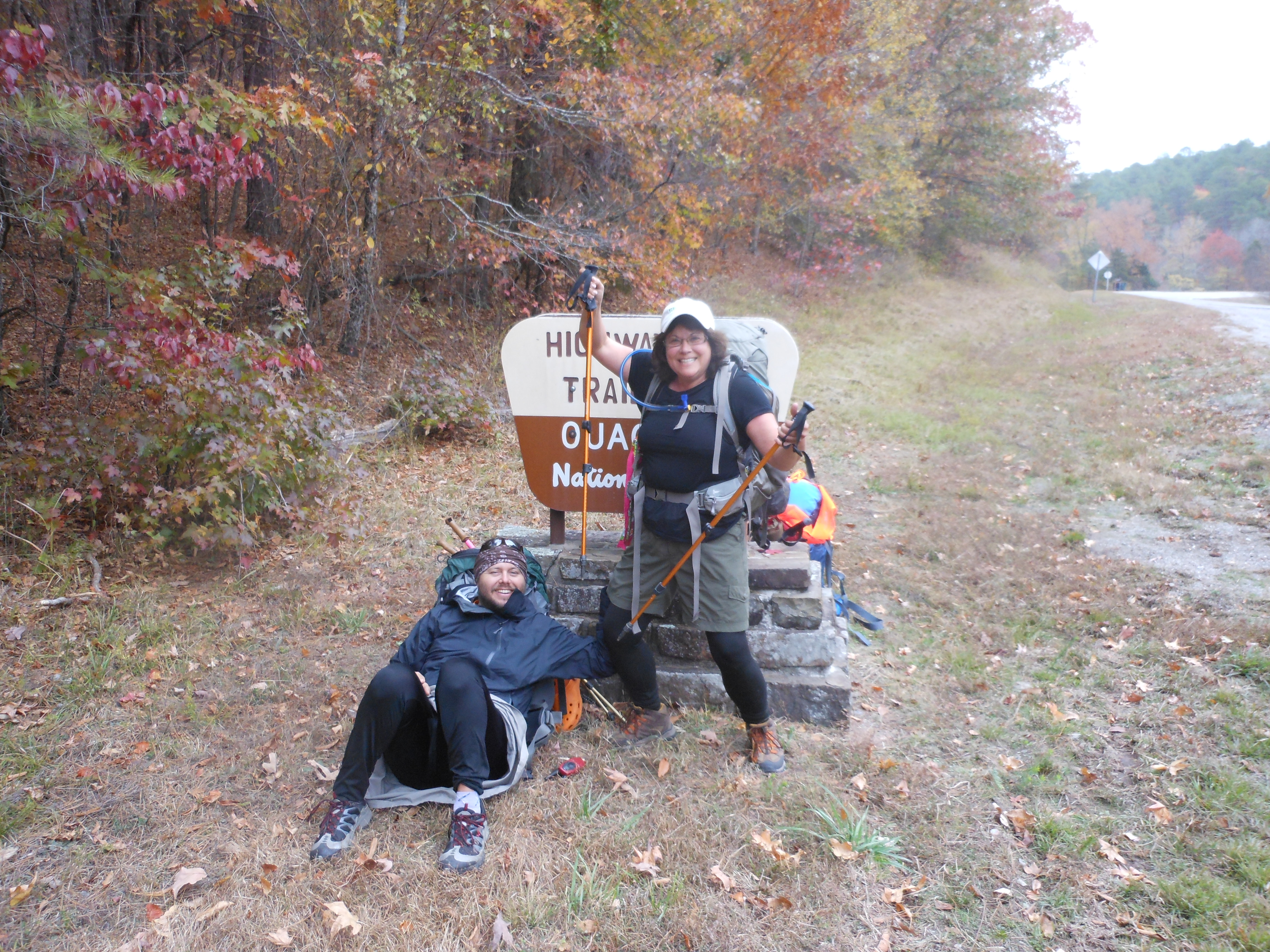
Walk (or possibly shuttle) 4.0 miles to the Ouachita Trailhead at AR-298, elevation 800'


There is no reliable water at Blue Mountain Shelter, so carry 8 liters today.


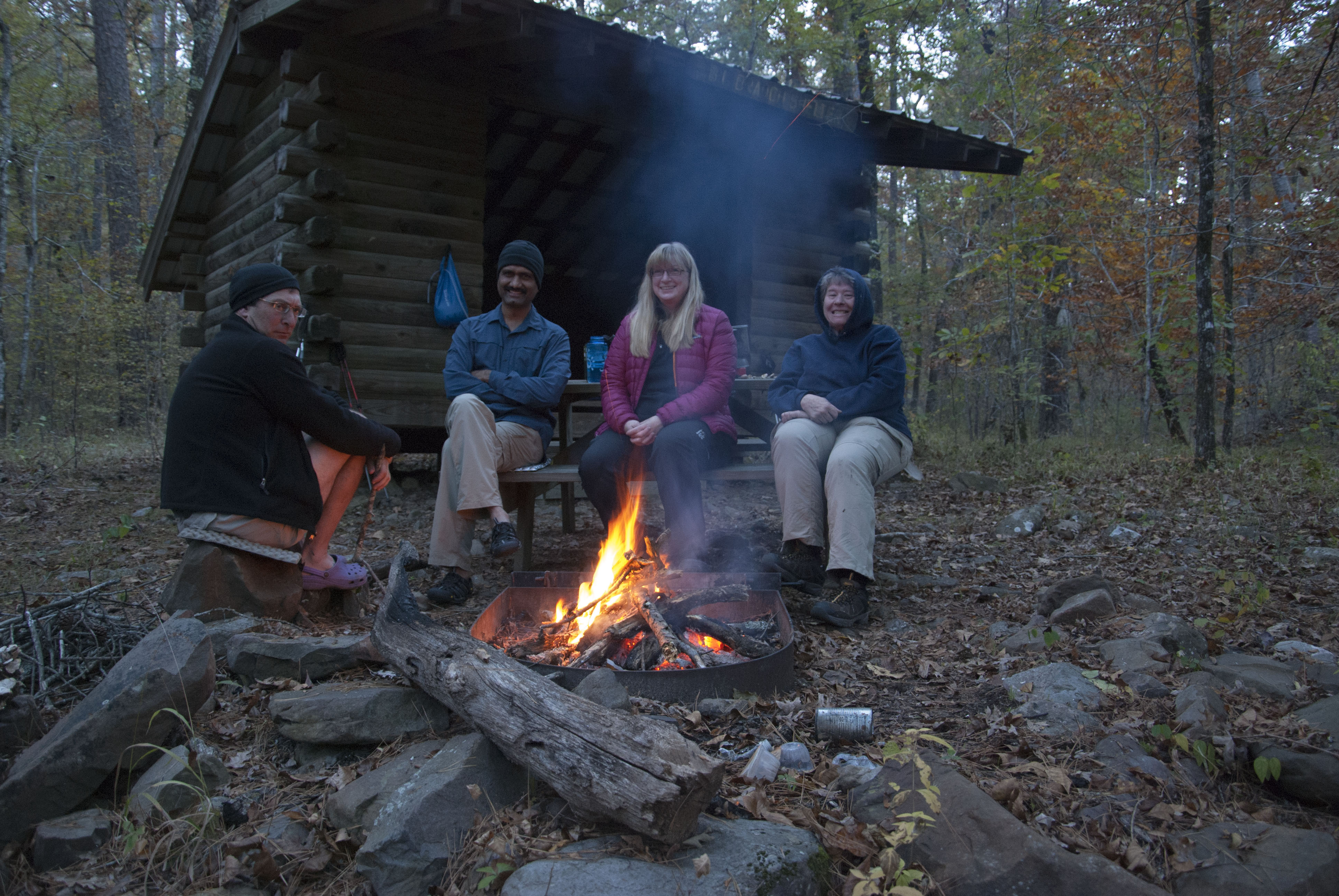
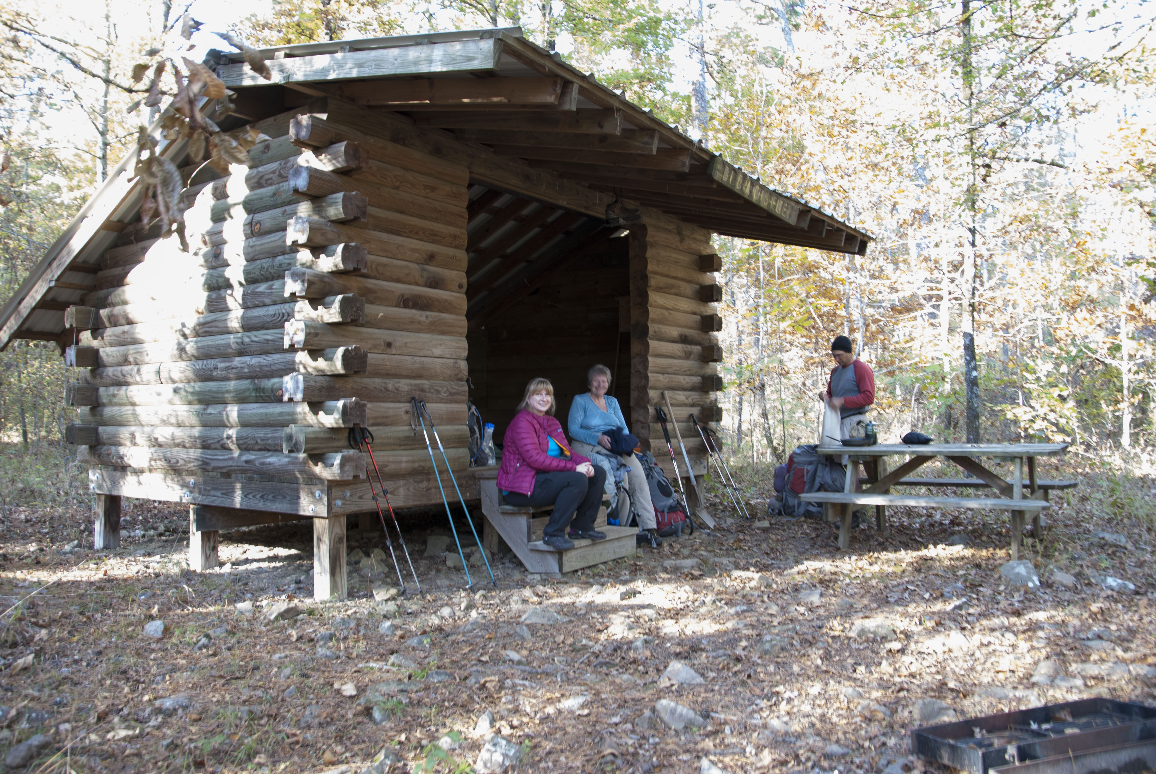
Hike 4.4 miles to Blue Mountain Shelter, elevation 1500'


Camp at Blue Mountain Shelter, elevation 1500'


Miles today: 4.4. Total miles: 4.4 (or 8.4)


Possible bailout: Route 298


Monday, April 8, 2024

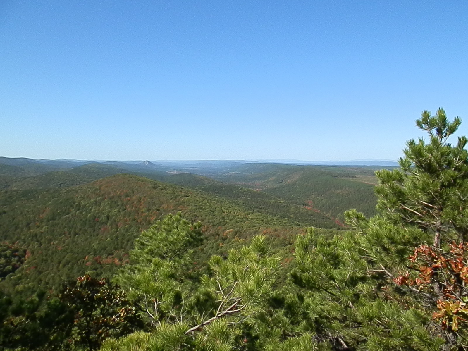
Hike 4.6 miles to Ouachita Pinnacle, highest point on the hike with great views, elevation 2000'


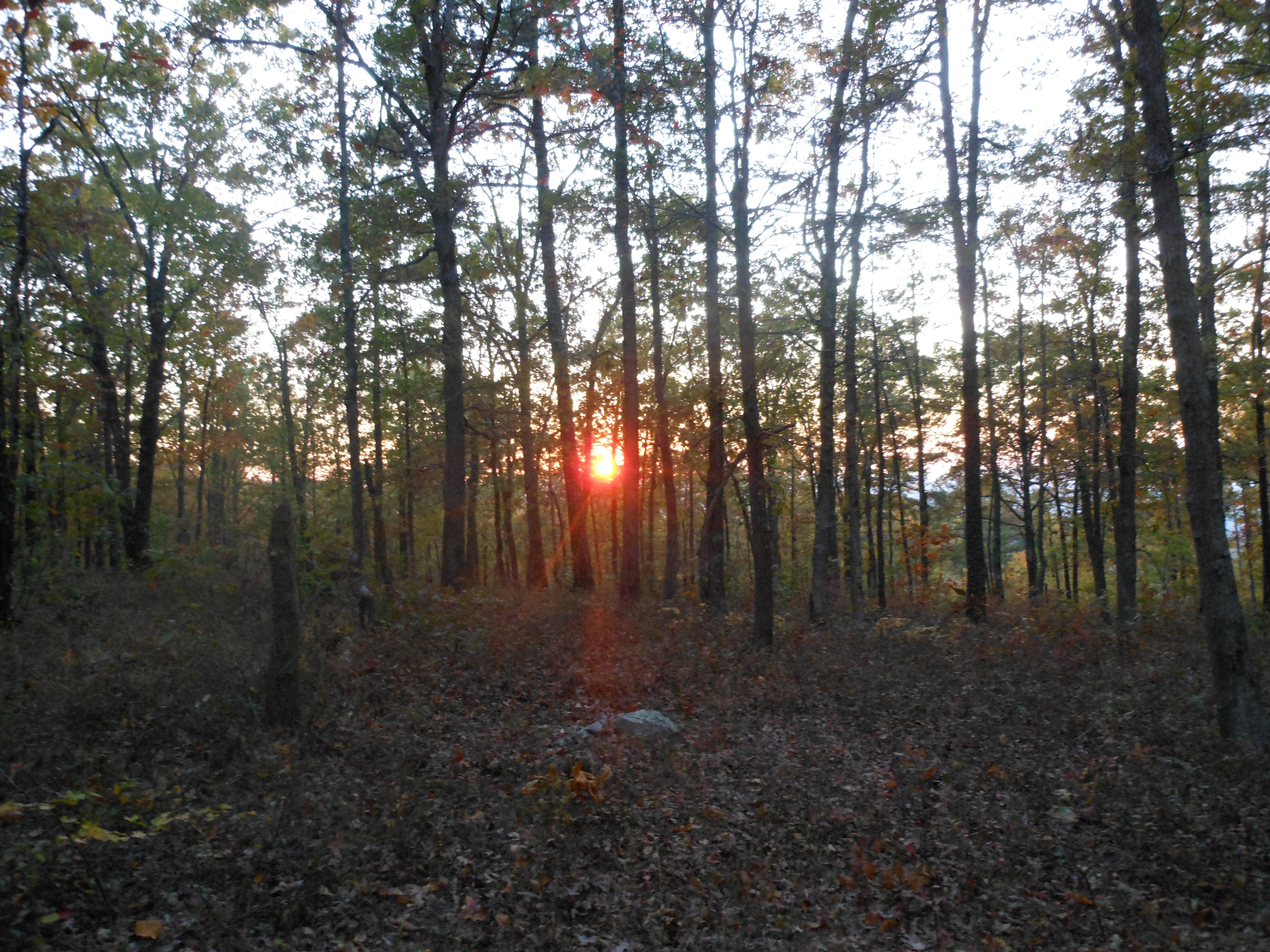
Have lunch and wait for the eclipse. Totality should be over by 2PM. Note: The temperature can drop markedly for the time the sun is obscured, even partially.


Hike 3.0 miles to Big Bear Shelter, elevation 1300'


Camp at Big Bear Shelter, elevation 1300'


Miles today: 7.6. Total miles: 12.0 (or 16.0)


Possible bailout: Forest Road 107


Tuesday, April 9, 2024

Hike 7.6 miles to Moonshine Shelter, elevation 1400'


Camp at Moonshine Shelter, elevation 1400'


Miles today: 7.6. Total miles: 19.6 (or 23.6)


Possible bailout: Forest Road 122 or Route 7


Wednesday, April 10, 2024

Hike 2.0 miles to Route 7, the only paved road we'll pass, elevation 1000'


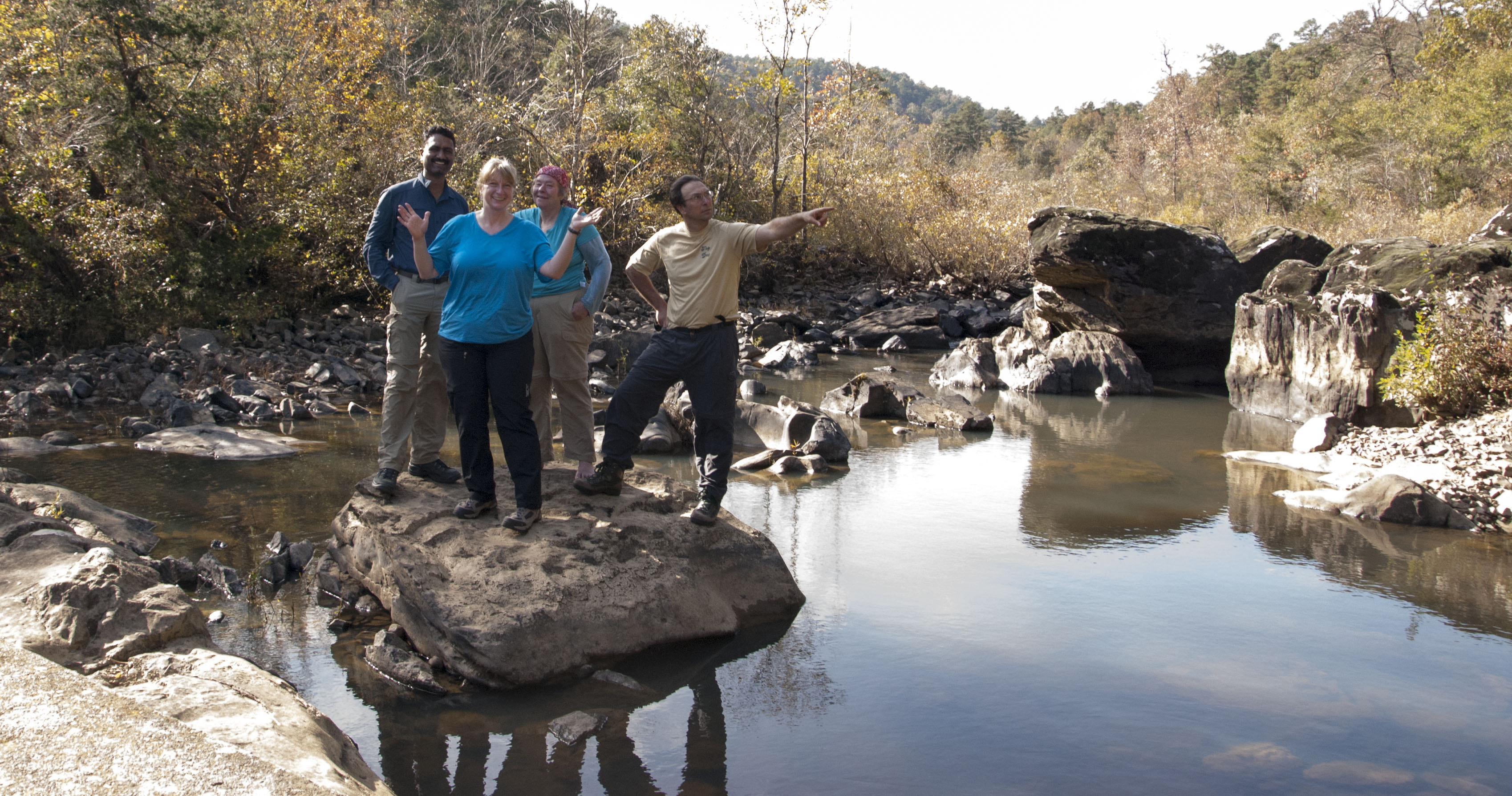
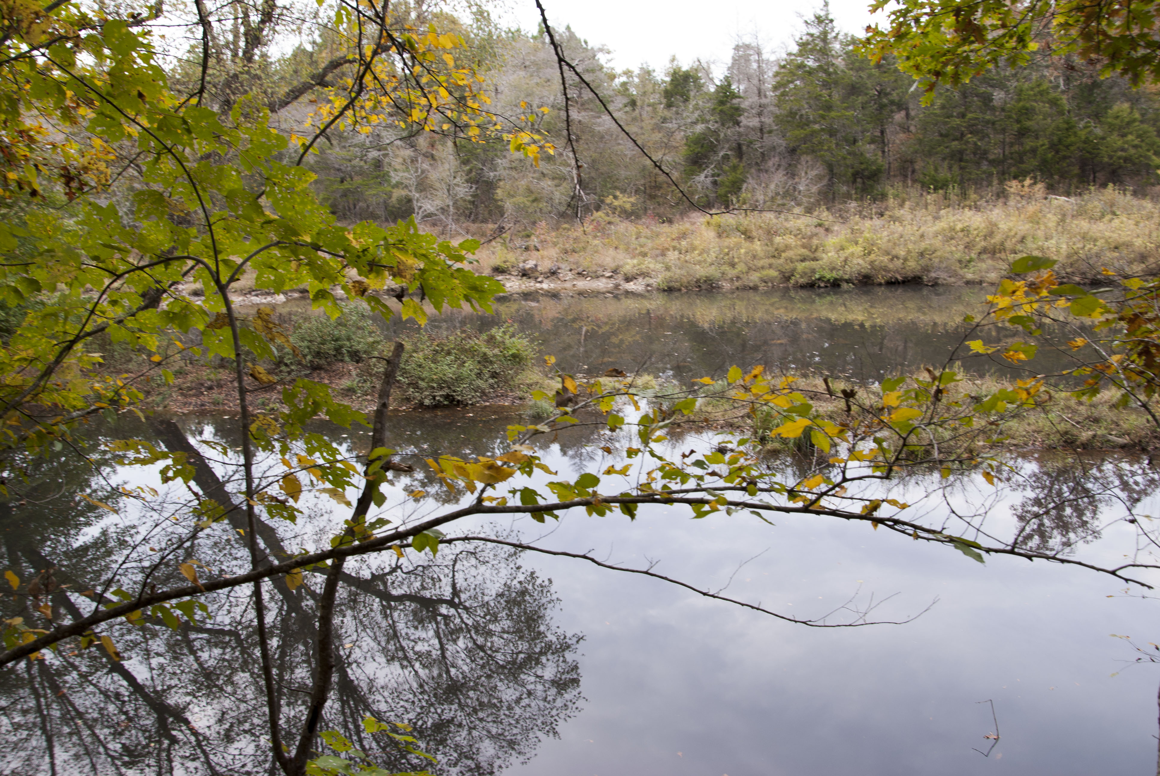
Hike 5.0 miles to Sugar Creek, elevation 1050'


Fill water here as the water at tonight's shelter is a shallow, gnarly pond. Treatable if necessary, but not particularly appetizing.


Hike 2.0 miles to Oak Mountain Shelter, elevation 1750'


Camp at Oak Mountain Shelter (no water), elevation 1750'


Miles today: 9.0. Total miles: 28.6 (or 32.6)


Possible bailout: Highway 7


Thursday, April 11, 2024

Hike 1.4 miles to the Flatside Wilderness, elevation 1600'


Hike 6.2 miles to Crystal Prong, elevation 1200'


Dispersed camp near Crystal Prong practicing Leave No Trace, elevation 1200'


Miles today: 7.6. Total miles: 36.2 (or 40.2)


Possible bailout: Forest Road 132


Friday, April 12, 2024

Hike 4,2 miles to the Flatside Pinnacle and Flatside Wilderness, elevation 1500’


Great views of Forked Mountain from Flatside Pinnacle


Hike 3.3 miles to Brown Creek Shelter, elevation 950'


There is no water at the shelter. The next water is 0.6 miles further at Brown Creek


Camp at Brown Creek Shelter, elevation 950'


Miles today: 7.5. Total miles: 43.7 (or 47.7)


Possible bailout: Forest Road 805 or 94


Saturday, April 13, 2024

Hike 4.9 miles to Lake Sylvia, Route 324, elevation 800'


End of hiking


The shuttle comes to pick us up


Go for a mineral bath at Quapaw Historic Bathhouse, for a relaxing 1-hour soak in the communal bath area (included). Other services such as massage and private baths available at your own expense.


Shuttle back to local hotel: Comfort Inn & Suites Airport (AR099), 4301 East Roosevelt Rd., Little Rock, AR, 72206, (501) 376-2466


Gather your off-trail items from storage


Dinner and awards ceremony at a local restaurant (Dinner cost not included in trip price)


Stay in our local hotel (included in trip cost)


"After" body composition measurements taken


Dinner and awards Ceremony (Dinner cost not included in trip price)


This is the official end of the trip. You are welcome to spend the night at the hotel, however if you drove and would like to get on the road or if you flew and would like to schedule a late flight (or a red-eye if this is a West Coast trip) you can definitely do so.


Sunday, April 14, 2024

Take free airport shuttle or we will pay for a shared cab/Uber


Back to top