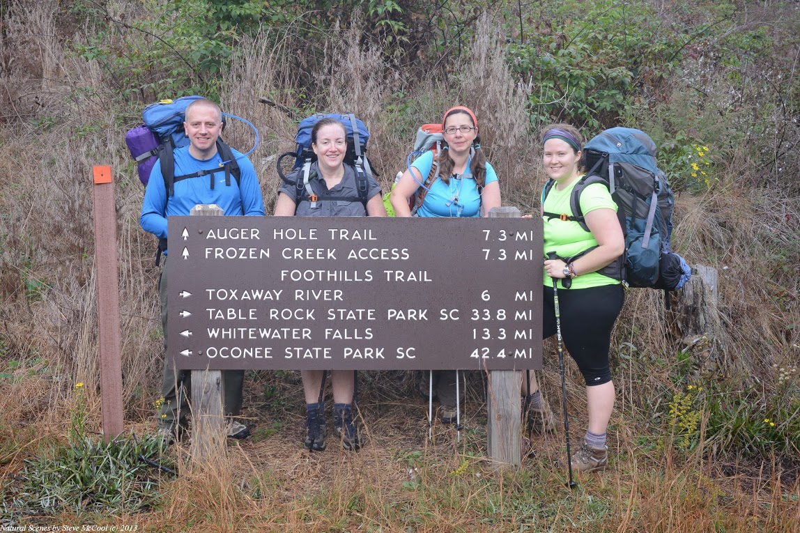
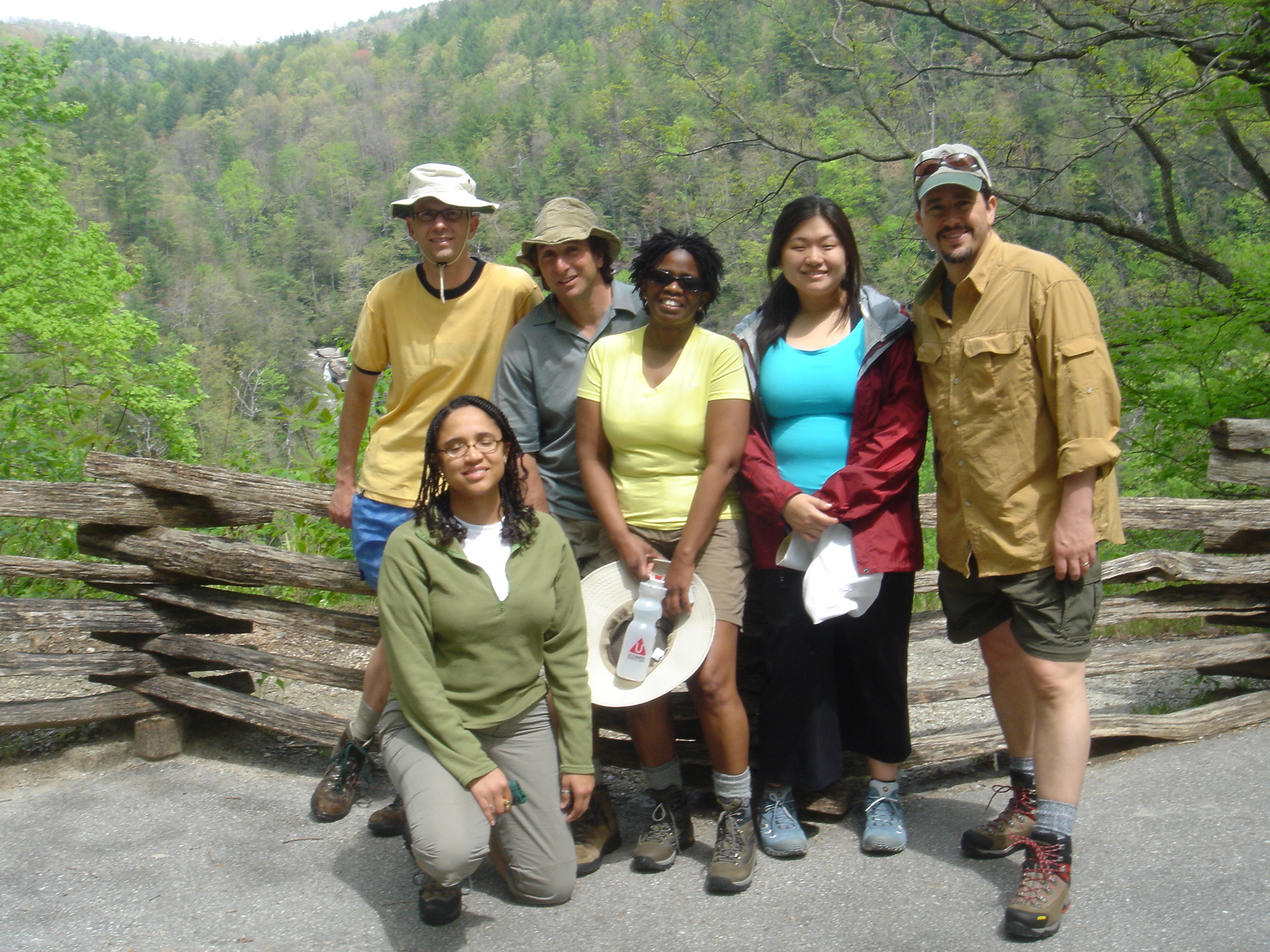
Itinerary
Saturday, March 16, 2024
Drive or fly into Greenville-Spartanburg Airport (GSP). The best time to arrive
is between around Noon-3PM. However, if you can save a substantial
amount on your flight by arriving a few hours earlier, then do so.
Call for a free shuttle to our local hotel where we'll gather before heading off to the trail.
We will assemble at:
Greenville Marriott, One Parkway E, Greenville, SC 29615 , 864-297-0300.
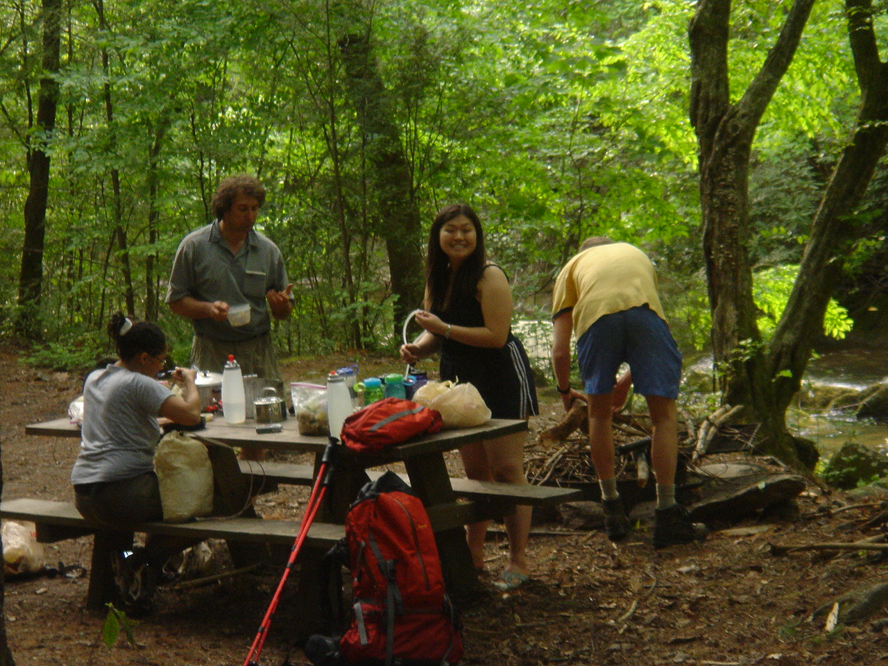
Mini equipment shakedown. We double-check your pack for any items you may have
omitted or forgotten after your pre-trip online shakedown.
Trail mix distribution from our make-your-own Trail Mix Bar
"Before" body composition measurements taken
Go to REI Greenville,
1140 Woodruff Rd Ste 400, Greenville, SC 29607, (864) 297-0588 for last minute equipment if necessary
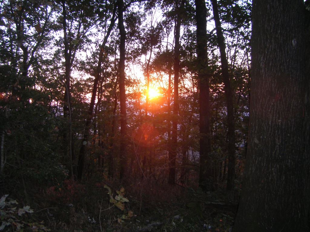
At around 3PM, shuttle to campsite: Table Rock State Park, 233 Table Rock State Park Road, Pickens, SC 29671. Site(s): T5 & T6 Elevation: 2000'
Shuttling will take about 1.5 hours
Guides prepare dinner in camp. On some trips with longer shuttle times, we may opt to go out for an opening dinner
at a local restaurant. (Cost of restaurant dinner not included in trip price)
Camp at Table Rock State Park, 233 Table Rock State Park Road, Pickens, SC 29671. Site(s): T5 & T6 Elevation: 2000'
Sunday, March 17, 2024
Second set of "before" measurements taken
All the items that you won't bring on the trail will be set aside and put in storage
Guides will take 1-2 hours to shuttle a car to Bad Creek parking lot and leave food / fuel cache at Laurel Valley
for mid-trip pick up
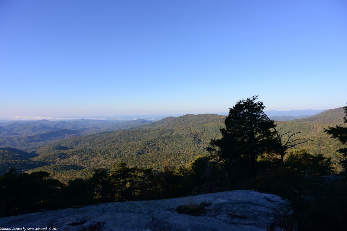
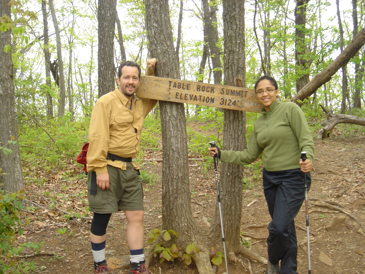
Begin Hiking at Table Rock State Park, elevation 1150'
Hike 5.0 miles on the Foothills Trail to the Lighthouse Campsite, elevation 2500'
Camp at Lighthouse Campsite, elevation 2500'. Note: There is a flat, open camping
area about 0.2 miles before (East of) the Lighthouse if we have a large group and need overflow
camping.
Miles today: 5.0. Total miles: 5.0
Possible Bailout: Table Rock State Park
Monday, March 18, 2024
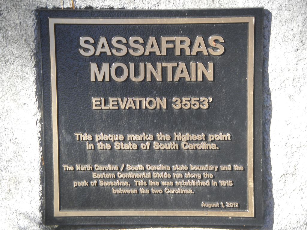
Hike 4.6 miles to the summit of Sassafras Mtn, elevation 3554'
Congratulations! You have summitted the highest peak in South Carolina
Hike 3.5 downhill miles to Chimney Top Campsite, elevation 2200'
Camp at Chimney Top Campsite, elevation 2200'
Miles today 8.1, total 13.1
Possible bailout: Sassafras Mtn or Laurel Valley/Hwy 178
Tuesday, March 19, 2024
Hike 0.5 downhill miles to Highway 178, Laurel Valley, elevation 1650'
Pick up food and fuel resupply for the rest of the trip
Hike 2.8 miles to Flat Rock Campsite, elevation 2300'
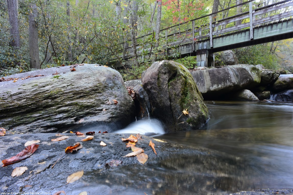
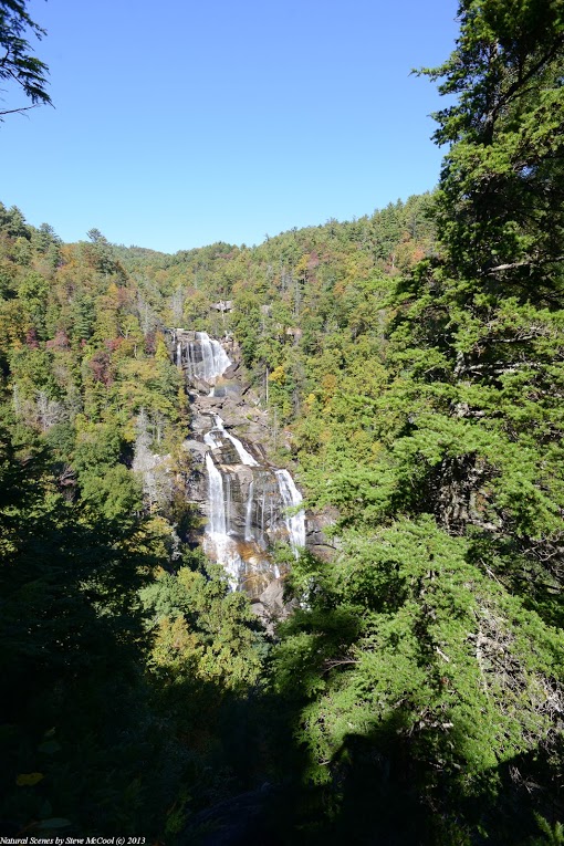
Hike 4.5 miles past Virginia Hawkins Falls to Laurel Fork Falls, elevation 1300'
Camp at Laurel Fork Falls Camp, elevation 1300'
Miles today: 7.8, total 20.9
Possible bailout: Laurel Valley/Hwy 178
Wednesday, March 20, 2024
Today will be our longest day and has 2 significant climbs
Hike 5.5 miles up and over Heartbreak Ridge to Toxaway, elevation 1125'
Heartbreak Ridge is a moderately short, but very steep uphill climb followed almost
immediately by a moderately short, but very steep downhill climb. You will find it
challenging.
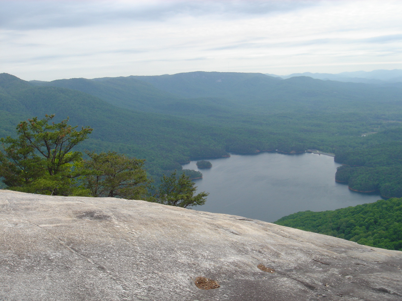
Have lunch at Toxaway. The swimming in Lake Jocassee at Toxaway will be refreshing and inviting
after Heartbreak Ridge and hopefully cool you down from the midday sun. Possible bonus: Toxaway has
a new outhouse that was built in 2023.
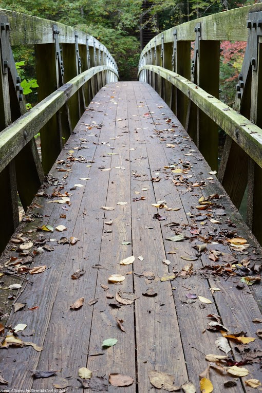
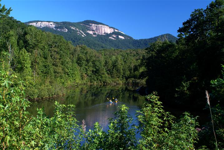
Cross a 225' suspension bridge over the Toxaway River.
Hike 5.6 miles to Bear Gap Camp, elevation 1350'
Camp at Bear Gap Camp, elevation 1350'. The site is pretty roomy but sits low.
Miles today: 11.1, total 31.0
Possible bailout: Canebrake (by boat)
Thursday, March 21, 2024
Today's hike features a steep downhill and uphill to Horsepasture. There will be many stairs to
descend and climb. The banks of Horsepasture are very pleasant and Oconee Bells can often
be found near the river on the West side.
Hike 2.3 miles to Horsepasture, elevation 1125'
Hike 4.4 uphill miles to Coley Creek Camp, elevation 2025'
Camp Coley Creek Camp, elevation 2025'. Water can be found a few hundred meters past the campsite.
Miles today: 6.7. Total miles: 37.7
Possible bailout: Horsepasture (by boat)
Friday, March 22, 2024
Hike 3.1 miles to the Lower Whitewater Falls Spur Trail, elevation 2100'
Drop packs and day-hike 2.0 round trip miles the Lower Whitewater Falls Overlook, elevation 1825'
Hike 1.2 miles to the Bad Creek Parking lot, elevation 1950'
End of hiking
Possible bailout: Bad Creek Parking Lot
Miles today: 6.3. Total miles: 44.0
Car shuttle up to Upper Whitewater Falls for a view of the iconic 411' cascade
Shuttle back to local hotel:
Greenville Marriott, One Parkway E, Greenville, SC 29615 , 864-297-0300.
Gather your off-trail items from storage
Farewell dinner at a local restaurant (Dinner cost not included in trip price)
Stay in our local hotel (included in trip cost)
This is the official end of the trip. You are welcome to spend the night at
the hotel, however if you drove and would like to get on the road or if you flew
and would like to schedule a late flight (or a red-eye if
this is a West Coast trip) you can definitely do so.
Saturday, March 23, 2024
Take free airport shuttle or we will pay for a shared cab/Uber
Back to top